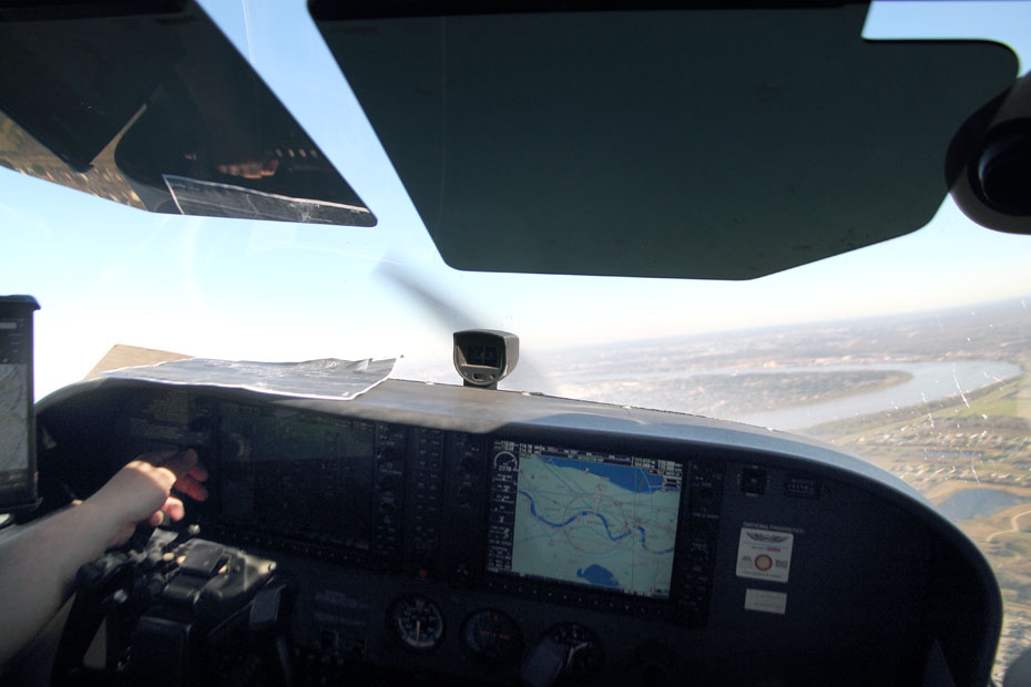
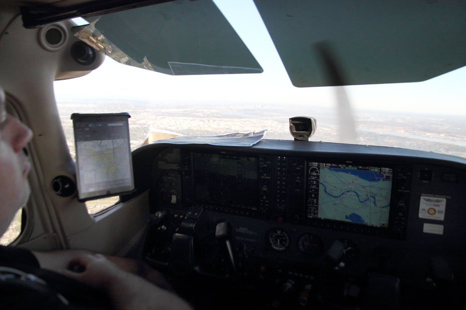
Today, Thursday 19 December 2019, my pal The Cajun Porkchop and I finally did something that we talked for years about doing. We hopped in an airplane, just the two of us, and flew around the metro New Orleans area and a little bit beyond it and got plenty of pictures.
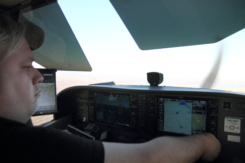
Well, actually, he did the flying, and I did the photographing; so, even though you are seeing my photographic work here, the real skill lies with the guy who knows how to fly the aircraft to get to such vantages, and that guy ain’t me.
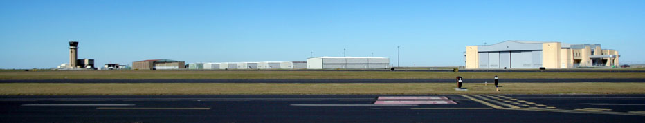
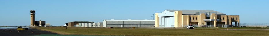
We met at Lakefront Airport.
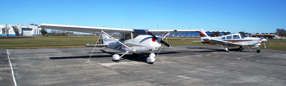
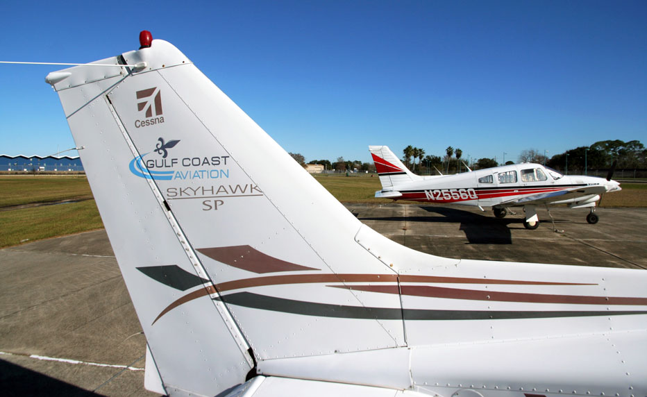
That is our aircraft.
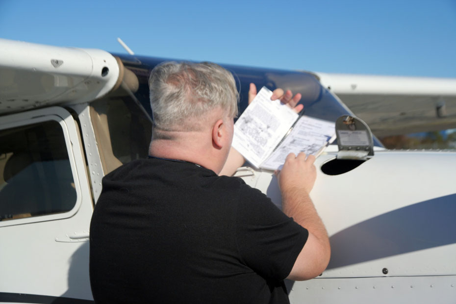
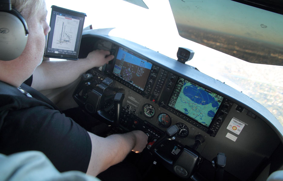
It’s time for Chop to inspect the aircraft, which means that it’s time for Jimbaux to shut up.
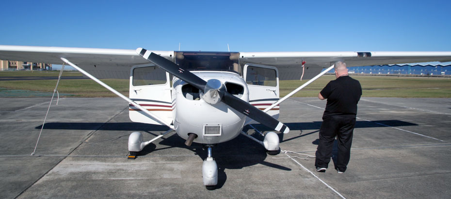
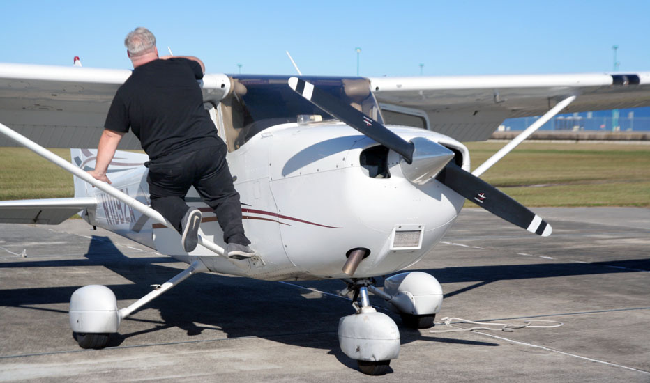
I guess that I will have a look around.
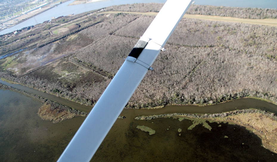
Here is the tail of our craft.
Chop has to check stuff.
I wish that I knew more about what was happening here, but life is so damn short.

But you can’t know everything, and you can’t do everything; you’re going to die one day, and way too damned soon.
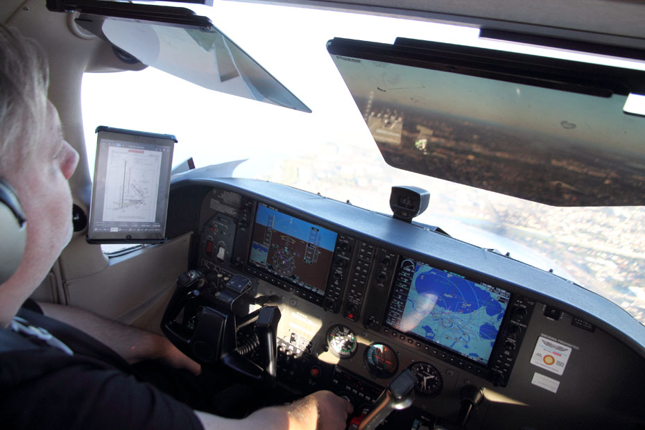
Okay, so, we took off.
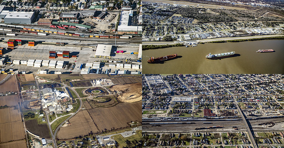
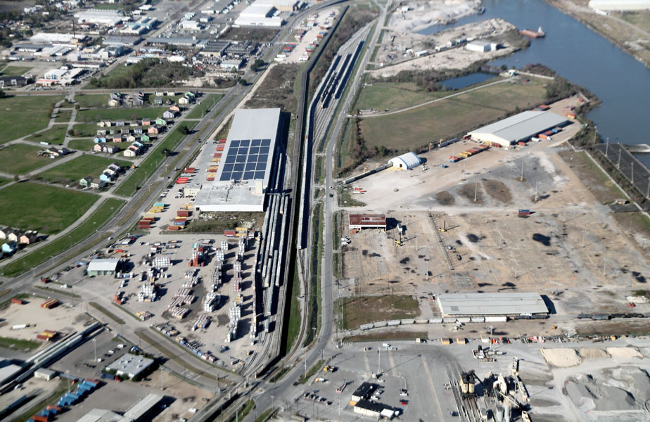
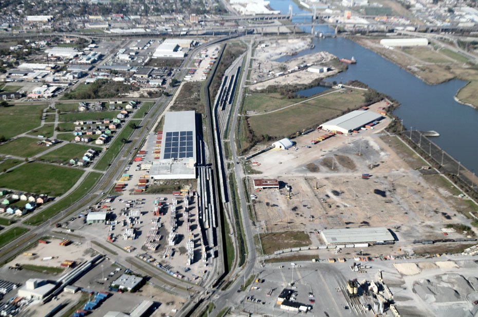
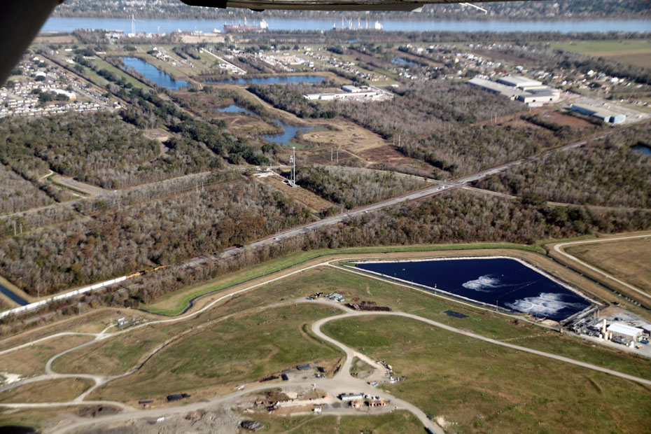
We are flying over the old “Mister Go” by CSX’s Gentilly Yard, which you can see below.
We’ll be back over there soon. For now, we are passing by the New Orleans Public Belt Railroad.
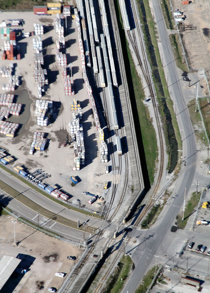
That is a spur at the southern end of NOPB France Yard, which is the yard ending on the right side of that floodwall.
The yard at the left side is some new industry yard.
Now, just a bit farther to the west, we are in an area that is difficult to describe, but that is Almonaster Boulevard going over the Norfolk Southern Railway mainline in the center of the picture, and NS Oliver Yard begins just past the left frame of the image.
In the background is where Interstate Highway 10 and Interstate Highway 610 meet, and right in front of it is the CSX mainline.
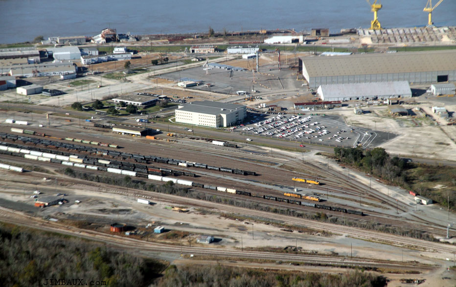
Below, we have curved around past the NS mainline and are viewing NE Tower, where the NS mainline (top left to bottom right) is crossing (or is crossed by) the CSX mainline.
The large facility at right is the NS Auto Lot, where the Norfolk Southern Railway unloads automobiles, almost all either Ford-Lincoln-Mercury products, I guess coming from the Great Lakes area, and military equipment.
The below view shows I-10 better.
If you wanted to live somewhere where you’d see just about every railroad car that moves through the New Orleans Gateway, that little neighborhood would be the place to live!
We are headed north so that we can loop around back southward.
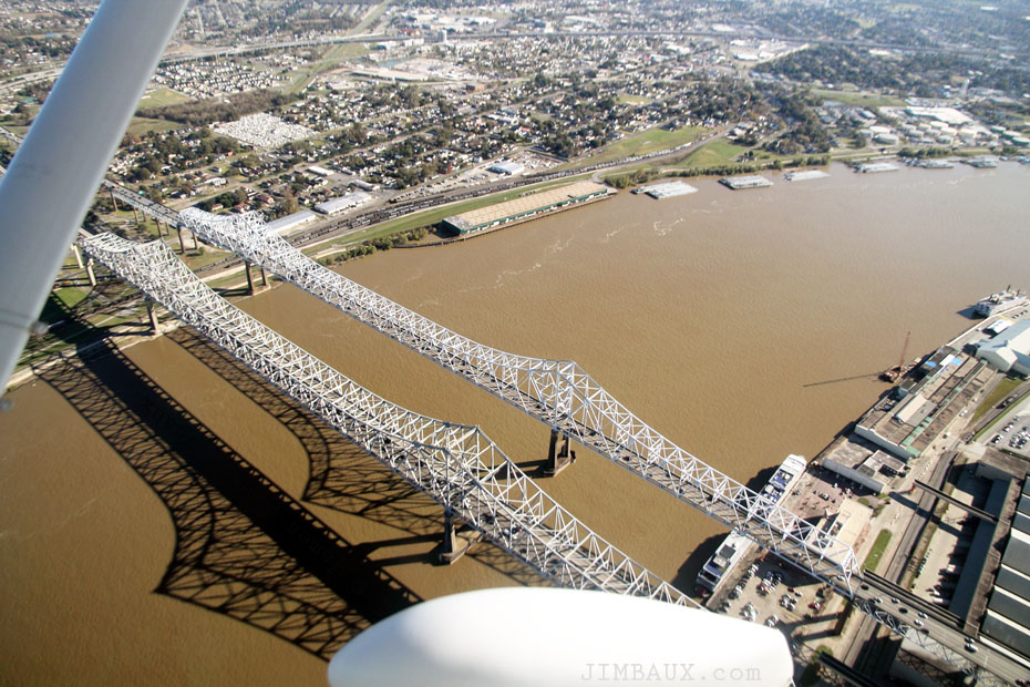
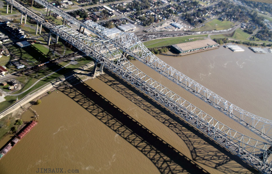
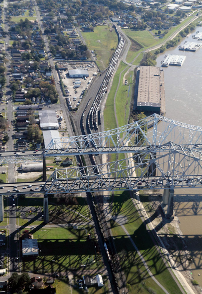
In these images, we see both the US Highway 90 bridge and the I-10 bridge over the Inner-Harbor Navigational Canal.
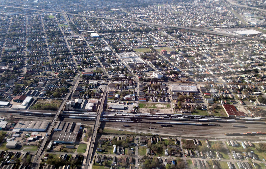
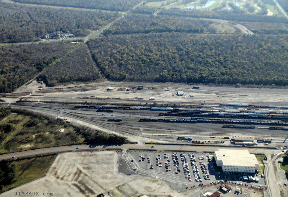
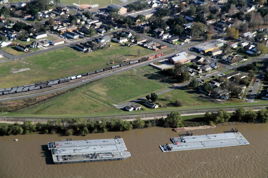
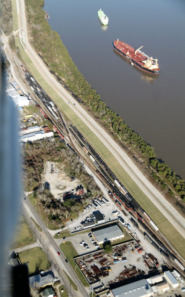
Now, we have gone a few miles to the east to the other side of CSX Gentilly Yard to an area that I have always felt had a strange flavor that I cannot describe to it, with plenty of junkyards and other such things.
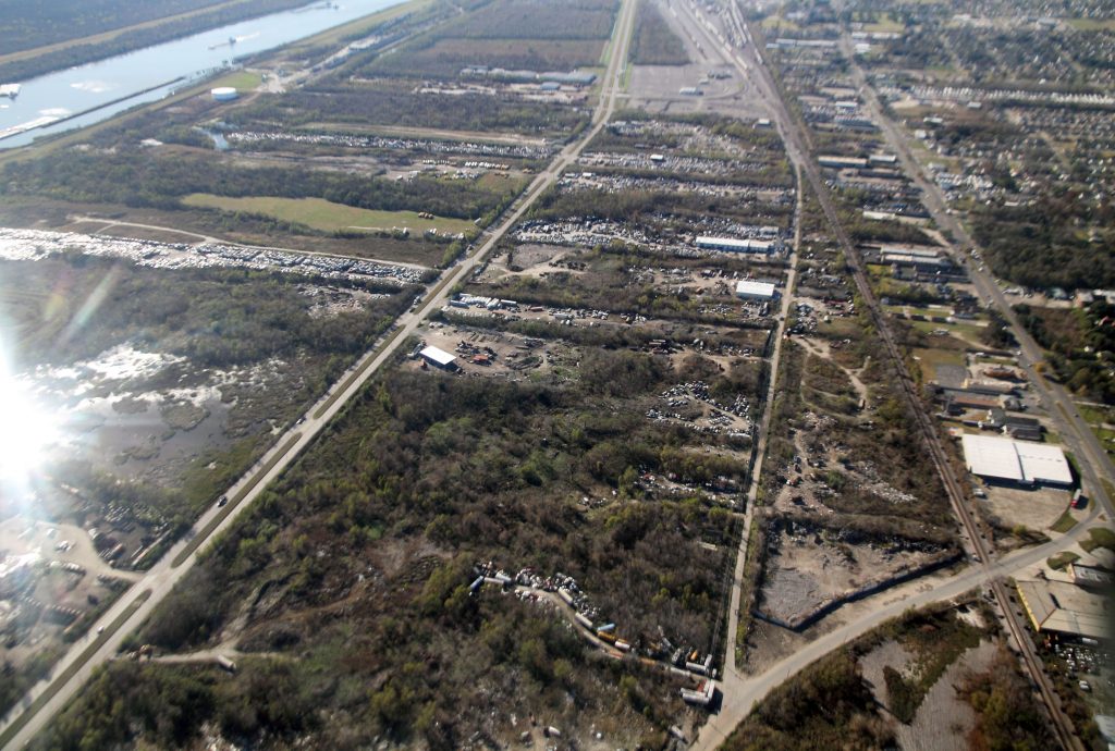
Below, we are again back over the other side of the Mister Go, and, at the bottom right, you can see a couple of items of interest; you can see the landing tracks that the CG Railway used during the brief time that it operated out of New Orleans.
Just inland from it, you see the yard that served it and that now serves a crude oil terminal, where you can see some BNSF Railway locomotives from a crude oil train that that carrier brought here.
Okay, with that, we’re heading back across the canal and back toward NOPB France Yard.
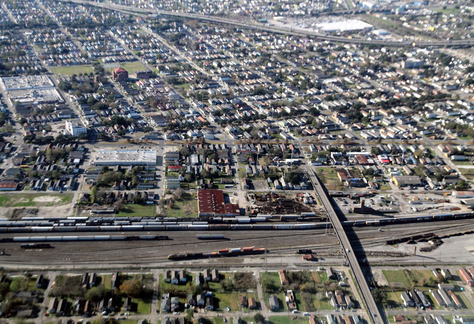
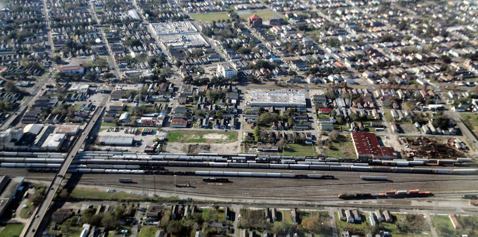
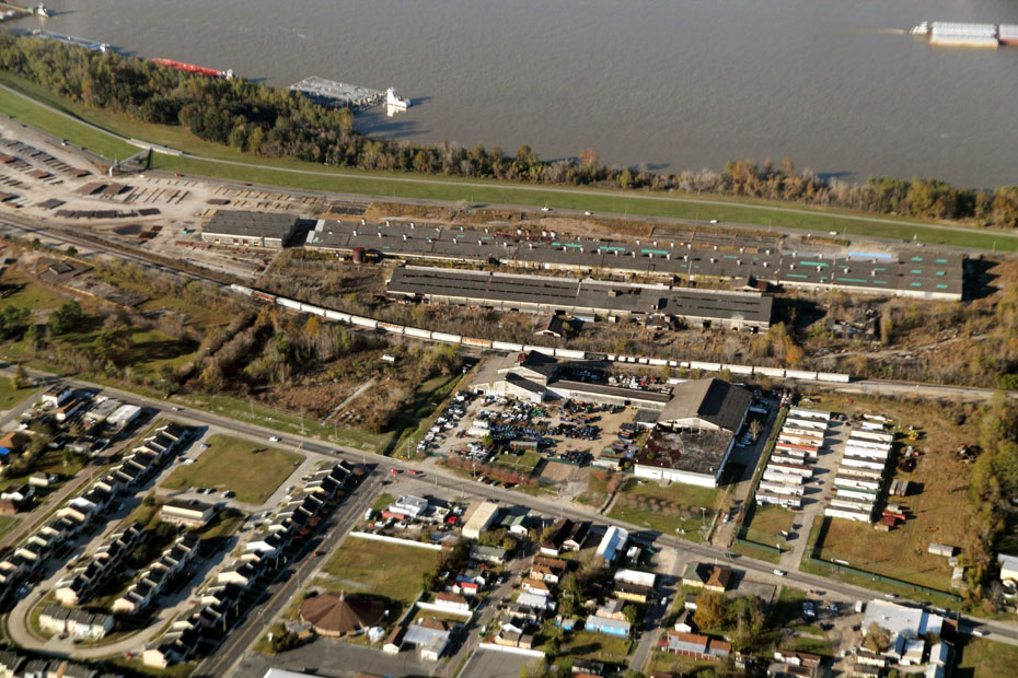
These next two views show all of France Yard, which, again, is to the right of the floodwall, not to be confused with the customer yard at left.
The area on the left side of the wall (but on the right side of that boulevard) is where the Gulf, Mobile & Ohio Railroad’s Canal Yard was; it closed in August 1972 on the day that the GM&O merger with the Illinois Central Railroad was approved.
Shawn Levy introduced me to France Yard.
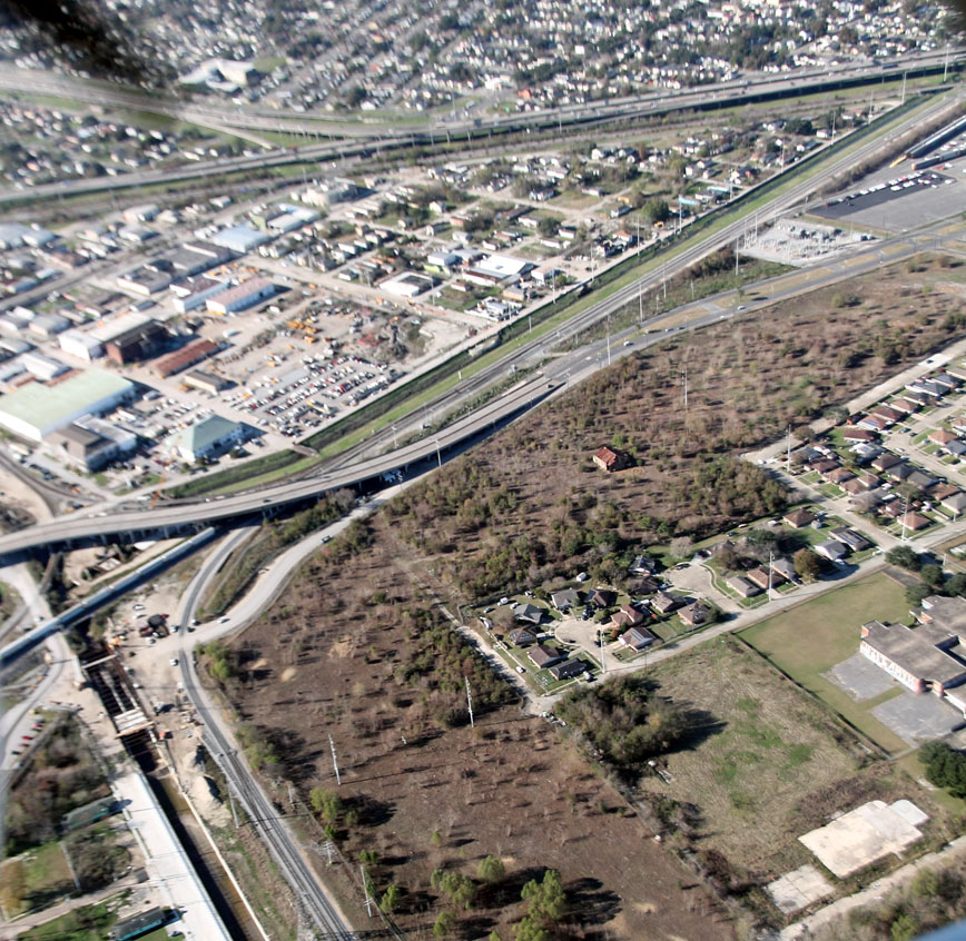
When Chop and I passed France Yard this time, farther south than we were before, we turned southward instead of going northward, and, now, we see NS Oliver Yard.
This yard expanded, I guess about to its current size, in the 1950s after New Orleans Union Passenger Terminal was opened and the Southern Railway moved its major New Orleans area operations here away from Bernadotte Yard.
I think about how I will be leaving this place and how there is so much that I never knew and never will know about it.
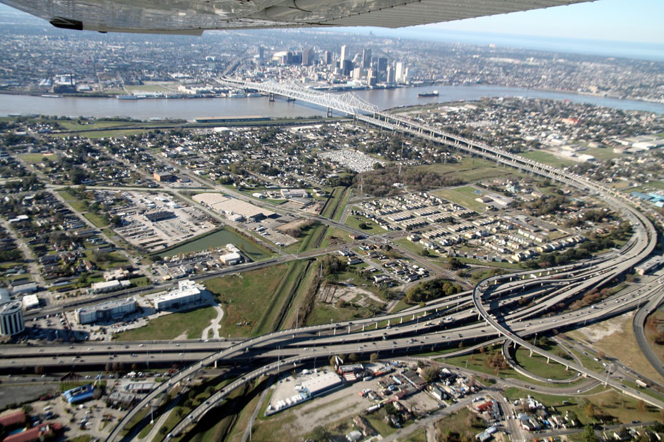
We crossed the Mississippi River, and, for some reason, I don’t have any shots of that crossing, but here we are over Gretna.
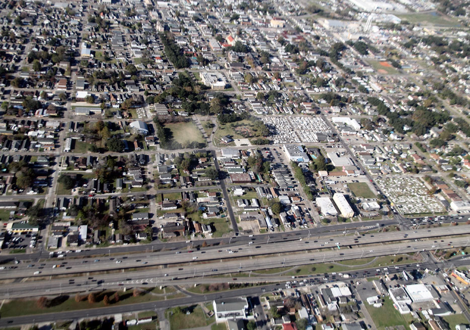
That’s the Westbank Expressway at, at right, Lafayette Street.
Below, we have gone west and turned north, and are now looking from Harvey into Gretna.
There, in this eastward view from the airspace over Harvey, we see Fourth Street with its former Southern Pacific railroad line on which I have taken so many pictures.
You will notice what looks like the remains of a roadbed diverging from the track and going one block over; that is where the Texas & Pacific Railway line via Third Street ran.
We circled back over the Warehouse District and then returned to the Westbank, flying over the Crescent City Connection bridges.
I love that view!
Here, we see ex-T&P Gouldsboro Yard.
You can see a westbound New Orleans & Gulf Coast Railway train staged at the western end of the yard.
That road stretching across the lower part of the frame is a new road that uses the right of way of the ex-SP mainline from Algiers.
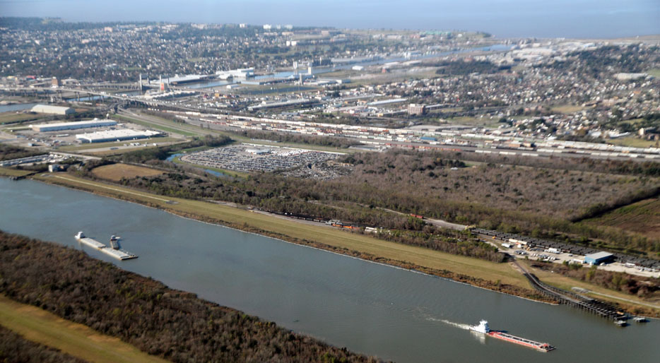
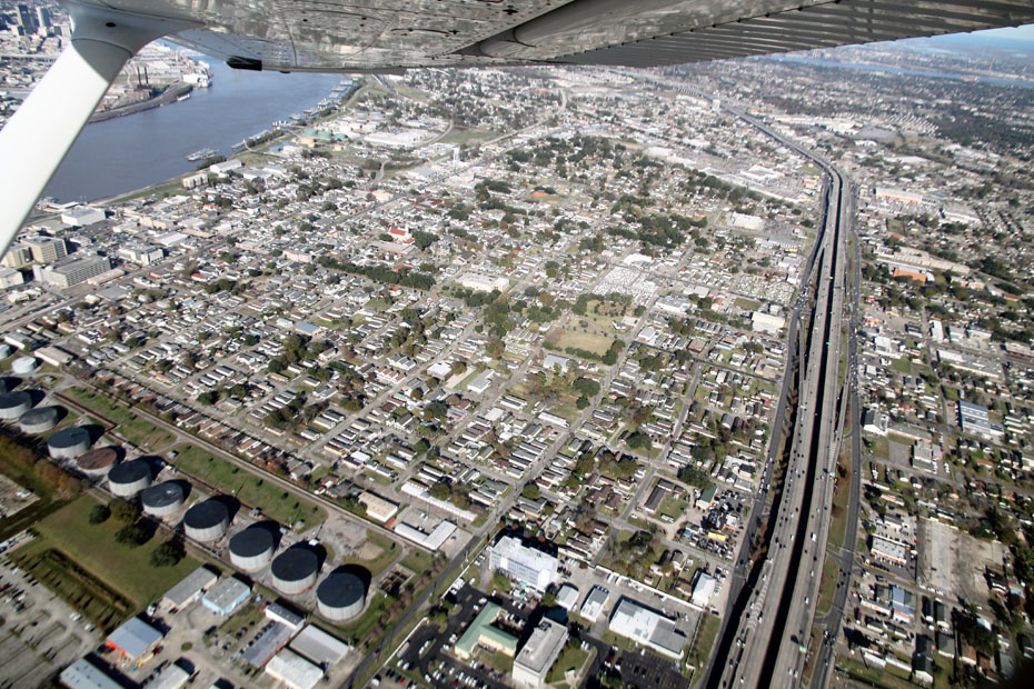
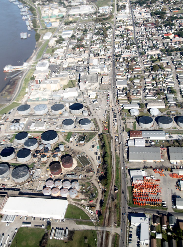
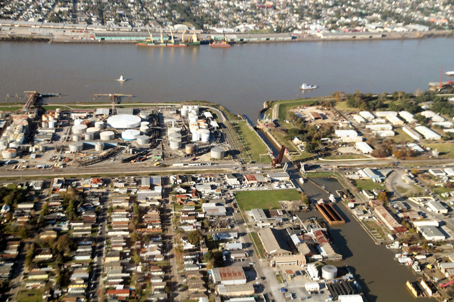
Now, we are looking across the river at New Orleans and seeing the New Orleans Public Belt Railroad, and this is about the only time that I have photographed its GE locomotives.
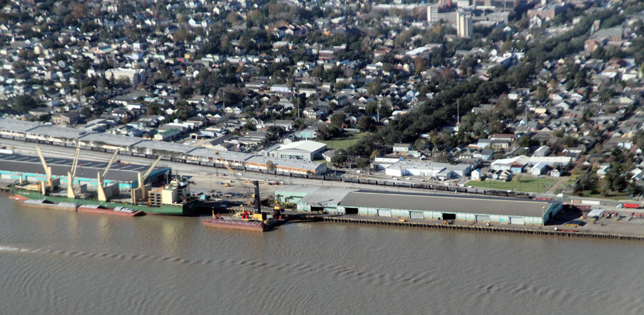
This is Stuyvesant Docks.
The Illinois Central Railroad had a big presence at Stuy Docks.
The Canadian National Railway briefly had a presence there after it bought the IC in 1999, but this lasted only a few years.
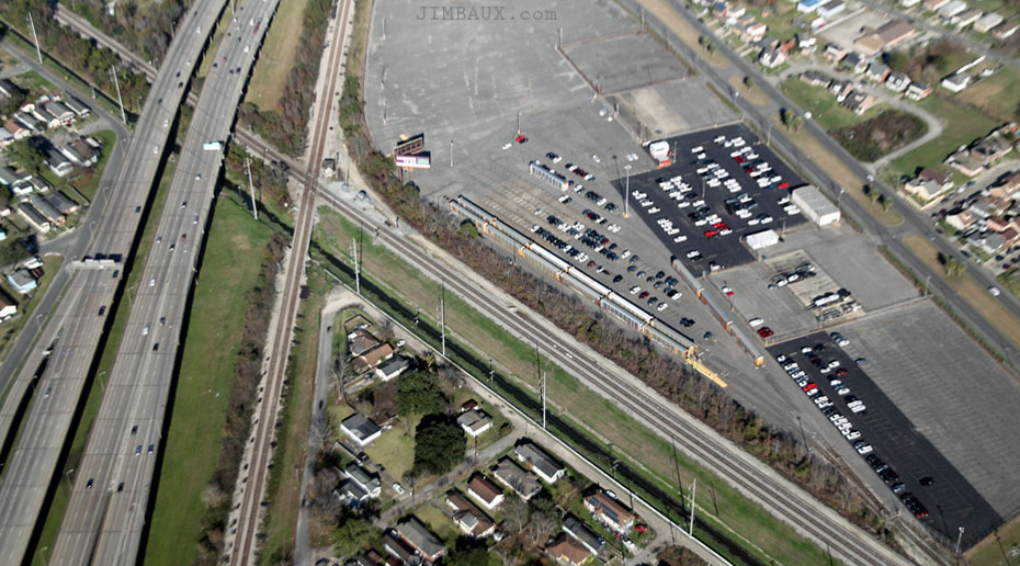
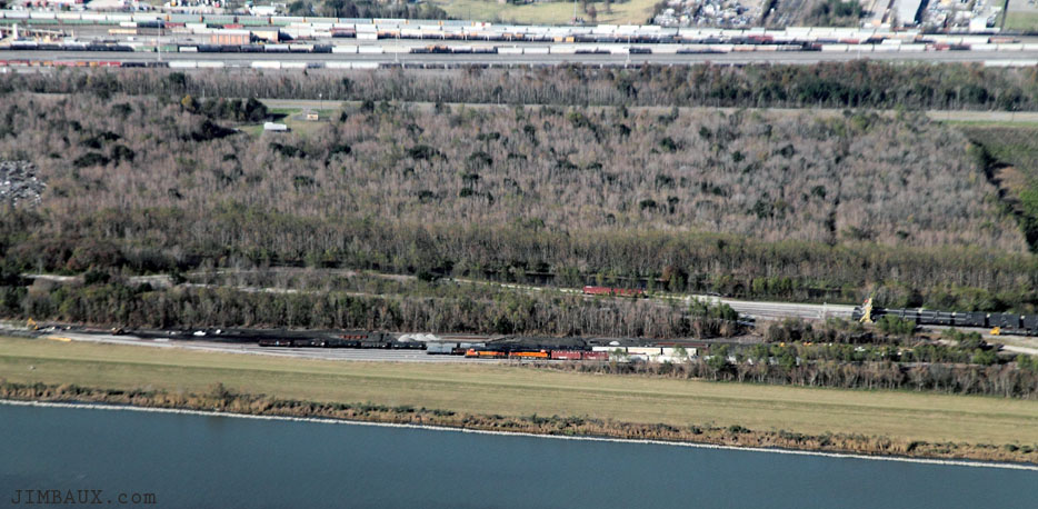
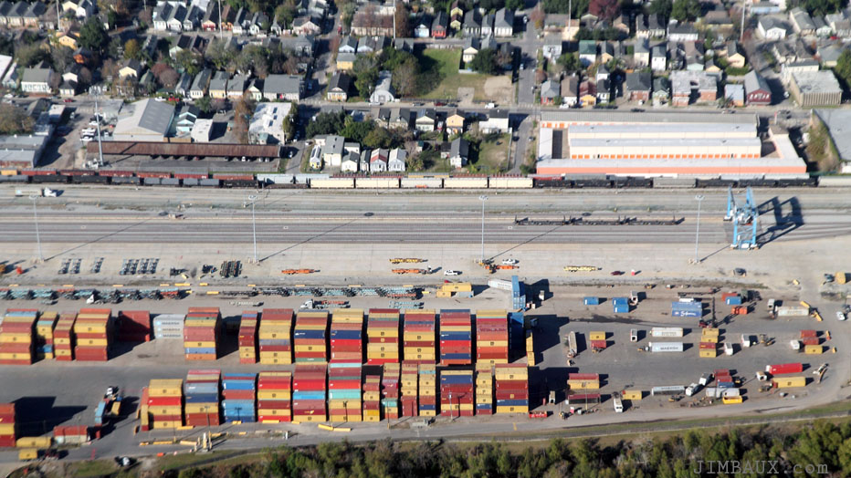
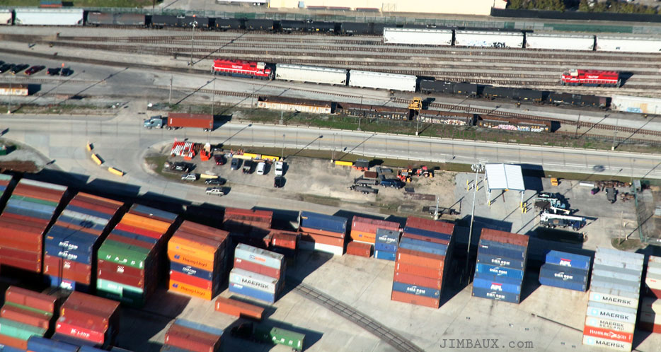
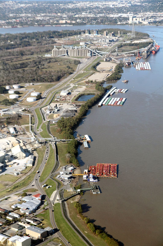
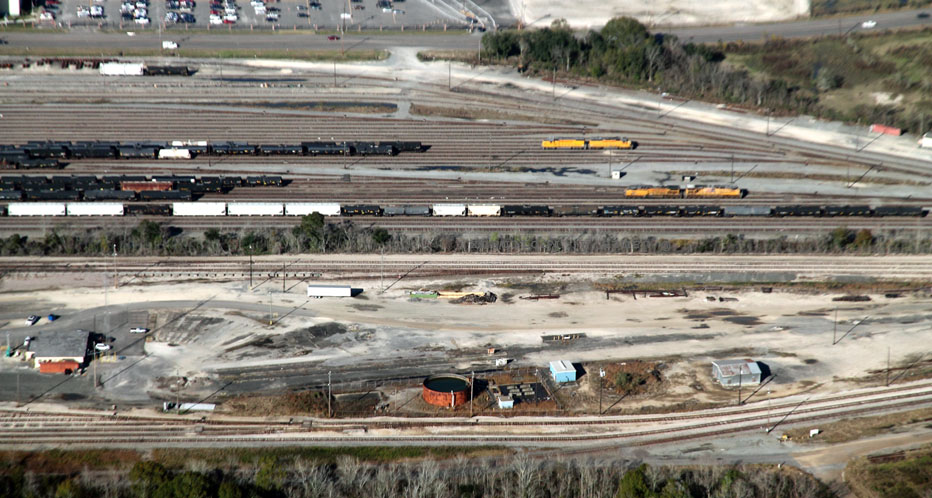
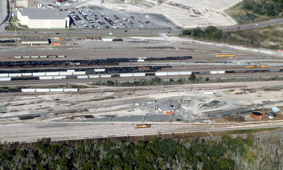
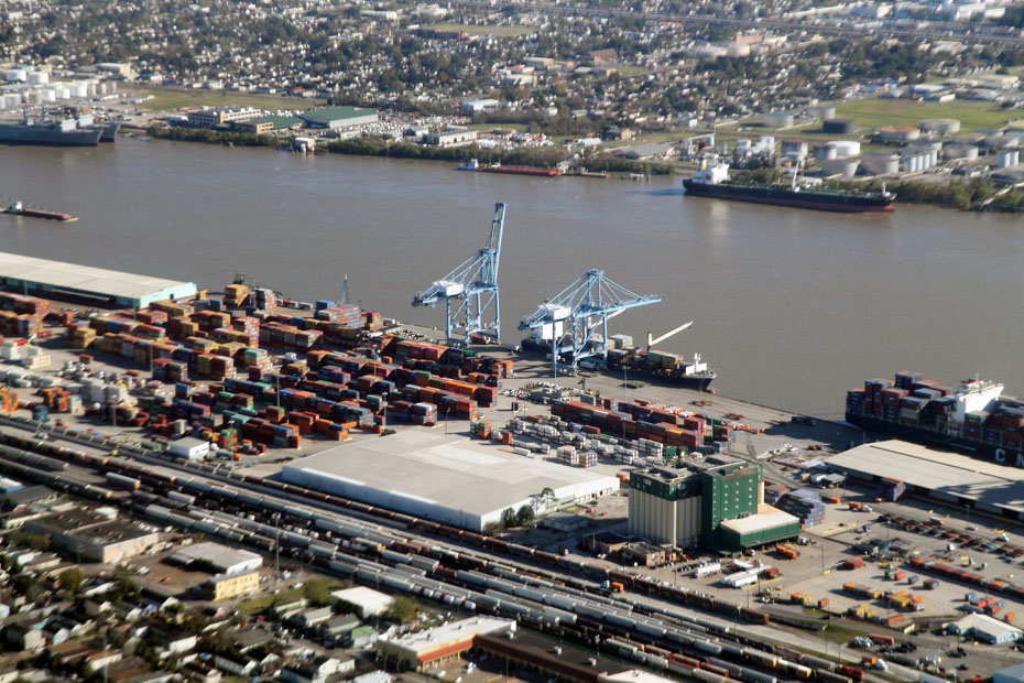
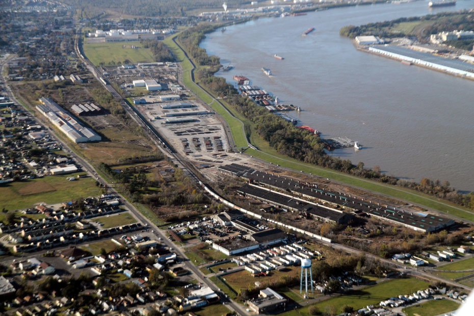
Next, we are at the eastern (downriver) end of NOPB Cotton Warehouse Yard, where we can see the roundhouse and turntable.
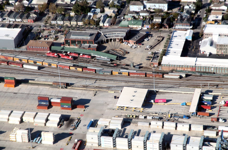
Word is that NOPB will be replacing its entire locomotive fleet.
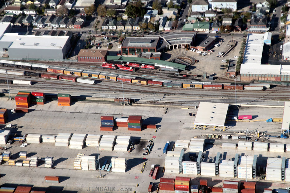
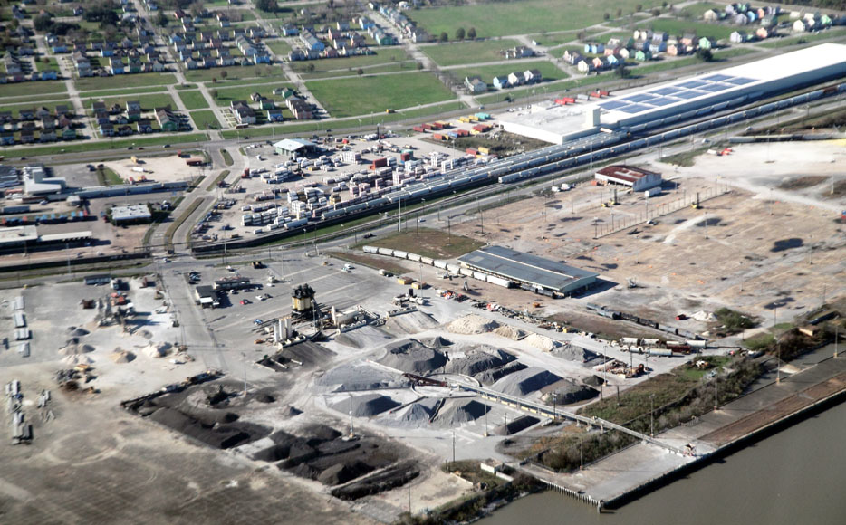
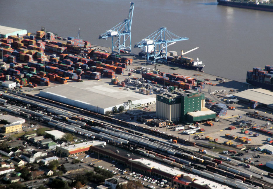
I like the stacks of containers in these views.
This is a port-terminal railroad!
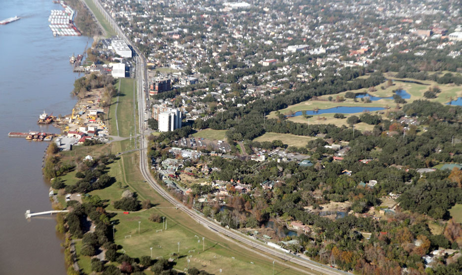
Now we’re by The Fly, looking northward by the Audubon Zoo, which is in the foreground.
Now, once again looking more at the western bank of the river, we see a view from Westwego to Nine Mile Point.
Just east of River Road, about a fifth of the way up the frame, you can see the remaining locks of a canal that is no longer there! You can also see a gypsum facility, a Cargill grain elevator, a power plant, and, in the below image, a residential area of the city of Westwego.
In the broader view below, you can see all of the gypsum facility, Louisiana Avenue, part of a wye, and the Union Pacific Railroad’s Westwego Yard.
It looks like plenty of cars are sitting in storage at Westwego Yard.
Well, the long string of stored locomotives that I saw there in February is gone; I wonder where they went.
Now we are flying by and over Avondale.
Okay, so, you see basically two yards here, separated by a thin row of vegetation, and you can see the remains of a roundhouse in the more southern yard, in the lower half of the image.
The yard to the south, closer to the camera, is the former Southern Pacific railroad yard. I don’t know if BNSF owns it, but it changes crews and does some block swapping there.
I think that UP, too, does stuff there, but I am really not sure. Anyway, the yard closer to the river is the ex-T&P, ex-MoPac, Union Pacific Railroad yard.
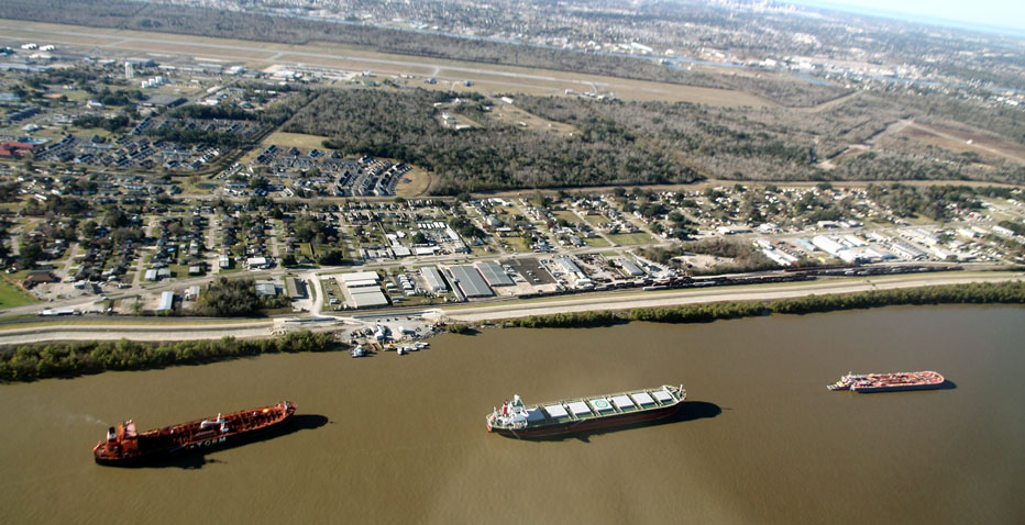
Here, we are at the western end, where we see a BNSF Railway train and a UP intermodal train at the UP intermodal ramp.
Now, farther west, we are in Waggaman, where we see the Willswood crossing where I have made so many pictures.
Next, about a mile or two to the west, is the junction at Live Oak, where I have taken many pictures since 2005.
As there usually is, there is a train parked past the signals at Live Oak.
Let’s turn back and look at the railroad crossing where many people have stared at me taking pictures of trains.
We are turning the airplane around now.
It’s Flyin’ Brian!
The man knows his stuff.
So, now, we are looking at the two Avondale Yards again, this time with the ex-T&P yard, including a locomotive servicing area, in the foreground with the ex-SP yard in the background.
Next, we are viewing the eastern ends of the yards, near where West Bridge Junction is, and you can see the end of Lapalco Boulevard in the right background.
Here is a different view of Westwego Yard in front of piles of gypsum.
Just like that, we are across the river and are looking at The Fly again, this time from the other direction, and we see the Henry Clay Avenue Wharf and Children’s Hospital.
I visited that hospital thrice in the last two years for some very different reasons!
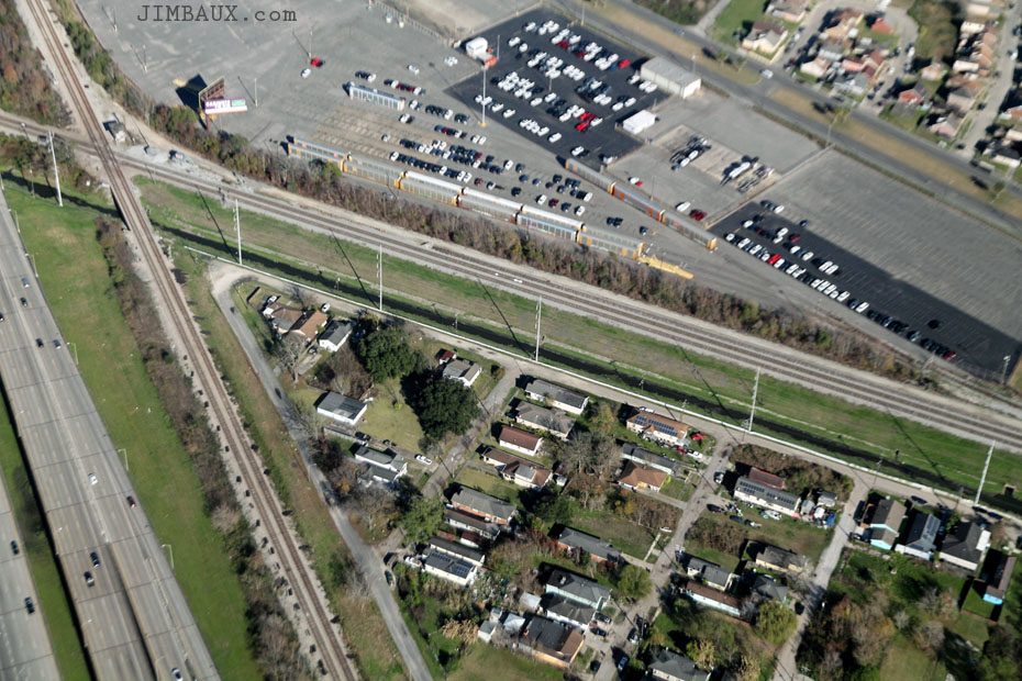
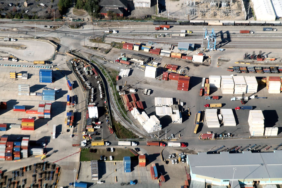
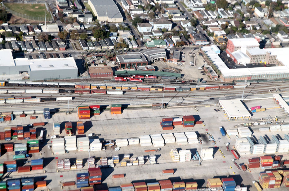
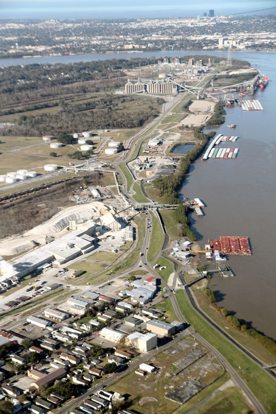
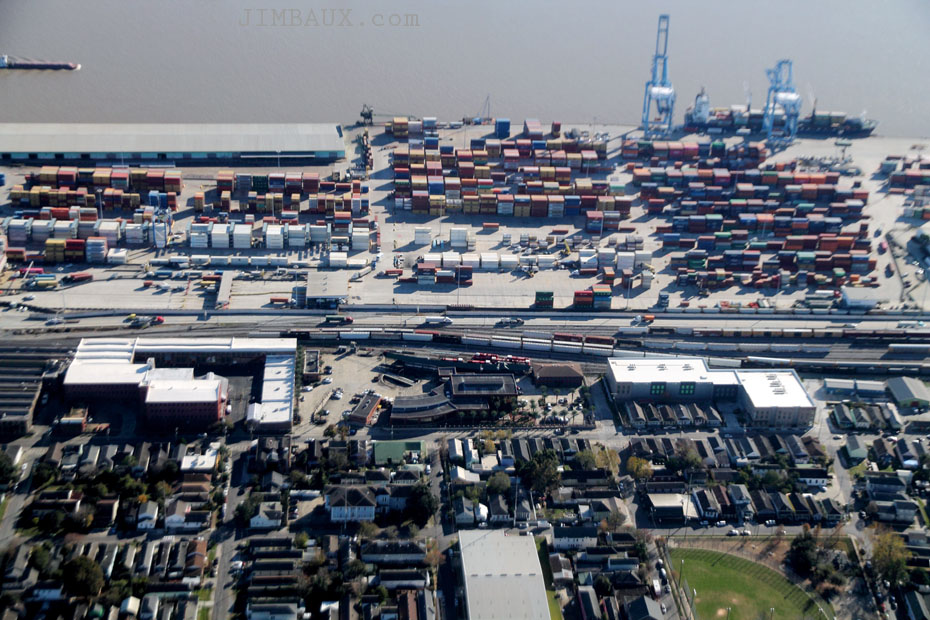
We are seeing NOPB Cotton Warehouse Yard from the other direction now.
Check out the container ship!

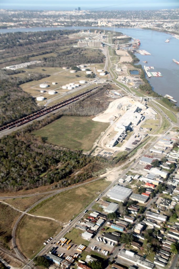
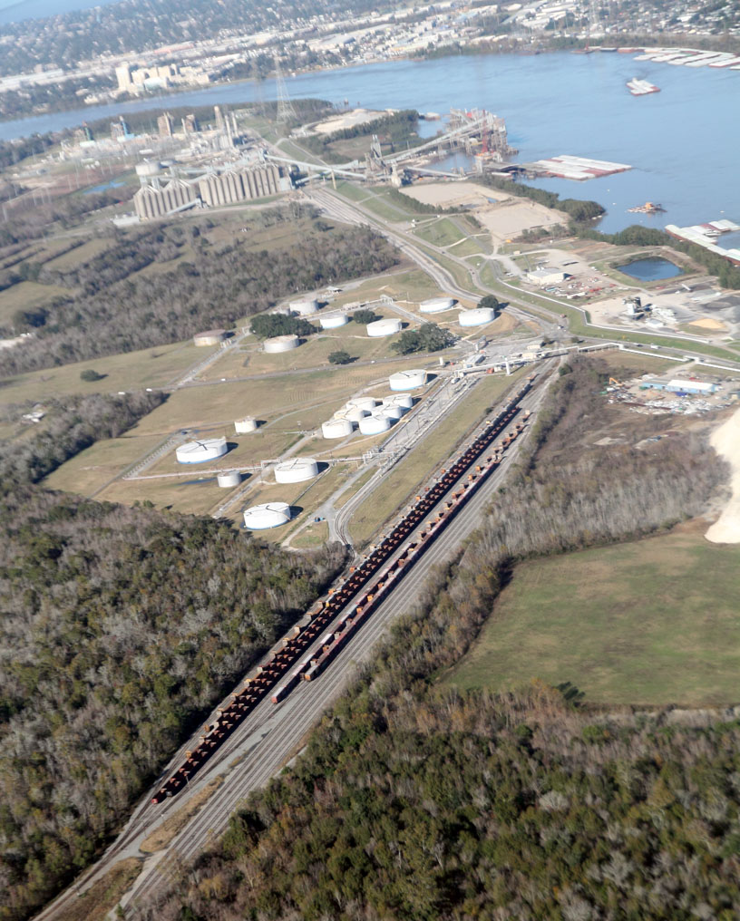
This area is fascinating.
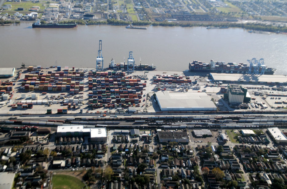
Do you see the roundhouse again?
Okay, now, here is that parked westbound NOGC train at the end of Gouldsboro Yard in Gretna of which I wanted to get a better photograph.
That is a fascinating area that had plenty of meaning for me 10 years ago.
Now we are on the Westbank and looking back toward downtown New Orleans.
Chop is checkin’ out something.
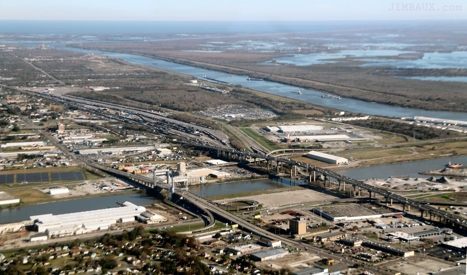
We are heading down the river now! Those are the bridges over the Gulf Intracoastal Waterway in Belle Chasse!
The railroad bridge is in the upright position for maritime traffic.
Now, we are by where the railroad and the highway curve by the river.
The ships are anchored, methinks.
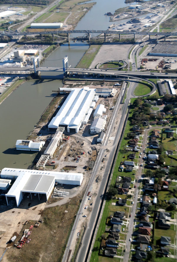
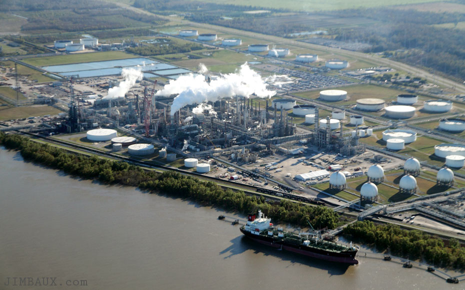
Now, downriver from Belle Chasse, we see the Philips 66 refinery at Alliance.
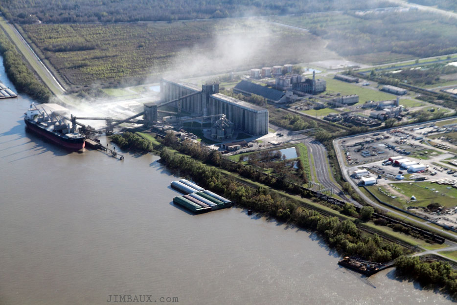
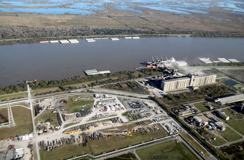
Just past the refinery is the big grain elevator at Myrtle Grove.
Yes, there is Chop!
We are turning around over the river, and you can see the community, the village, of Ironton.
In the above image, you can see the grain elevator at Myrtle Grove in the above-left corner of the image.
The railroad passed by Ironton until I-don’t-know-when, but, today, and for, I guess, at least two decades, the railroad has ended here at the grain elevator.
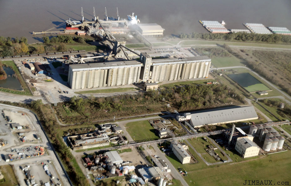
Unit trains of grain come here, as do sporadic carloads, often from, interestingly to me, the Canadian Pacific Railway.
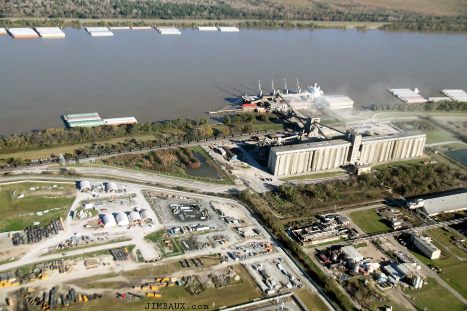
The grain is loaded into ocean-going vessels, and I guess that all of it is exported.
Here, at the Philips 66 refinery, we see a couple of NOGC switchers coupled to eight tank cars.
There is so much there to learn.
Here is a garden center.
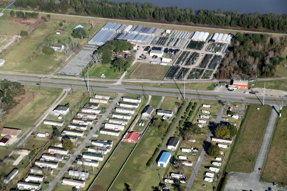
There is plenty of citrus grown in this area, and I wish that I could be a citrus farmer.
It would be a “job” that suits me well.
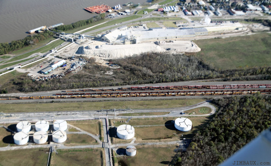
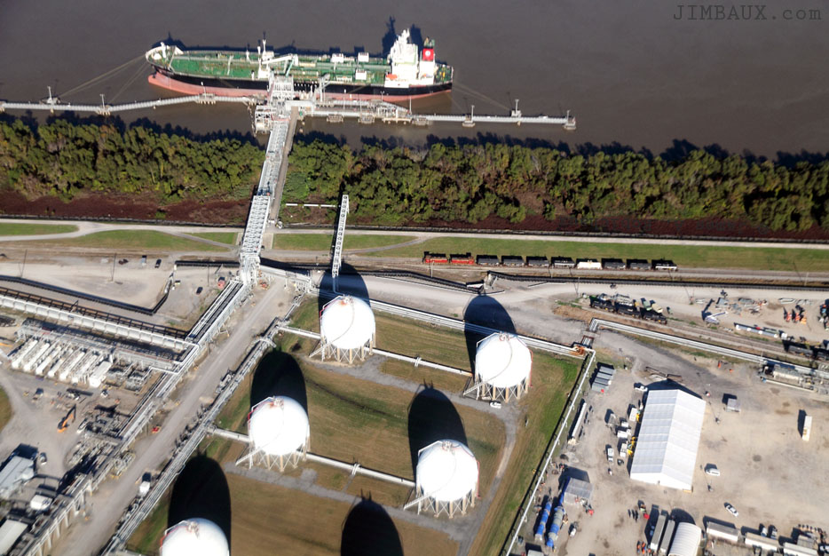
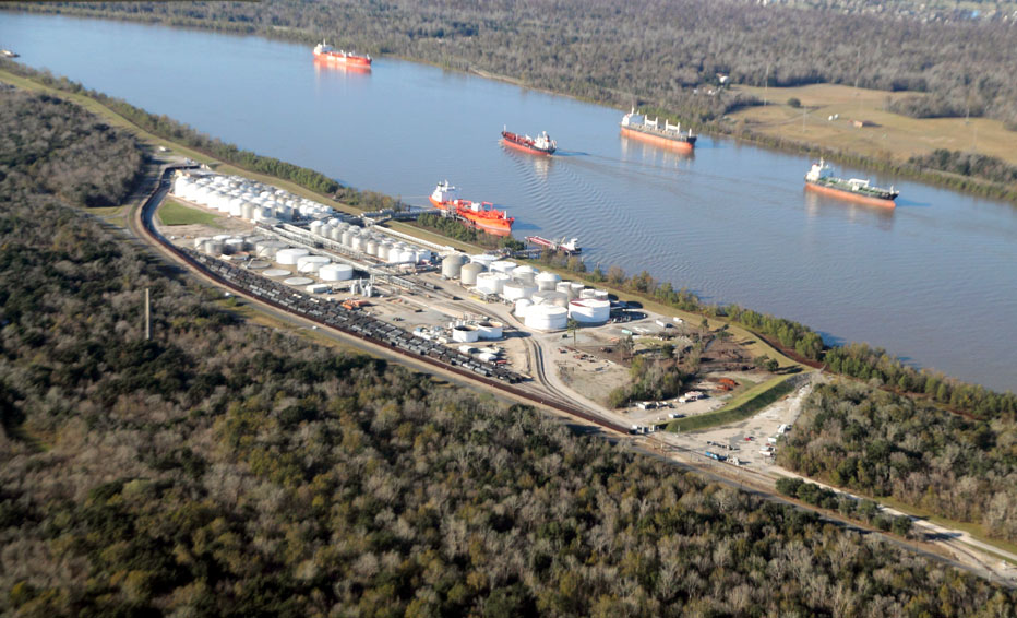
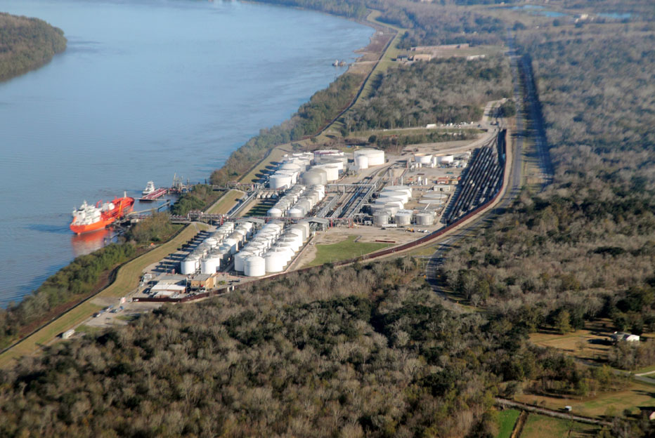
Next, we see the Chevron Oronite Oak Point Refinery.
This is the NOGC’s largest main regular customer on the NOGC, or at least it was when I was more active in the area.
Next, we are over NOGC’s Belle Chasse yard.
It looks to be rather full!
Next, we are across the river and looking at the last customer on the Norfolk Southern Railway branch down the eastern bank of the river.
This is the community of Braithwaite.
This derelict facility was once a nickel processing plant.
Here is the Stolthaven facility, which I think is a tank farm, a rail-to-ship transfer facility, and the last railroad customer on this line.
Here is Porkchop by Braithwaite!
Now, we are passing by the little community or village of Violet, which made me think of someone, and made me think of life events in general.
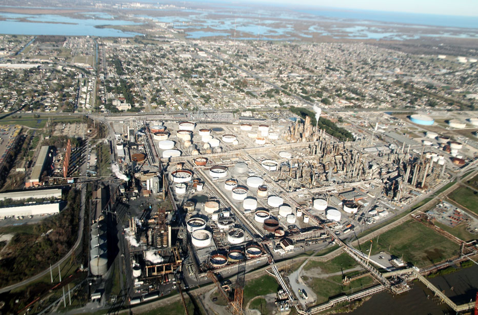
Now we are by the big petroleum refinery in Chalmette.
Next is the Domino Sugar refinery in Arabi.
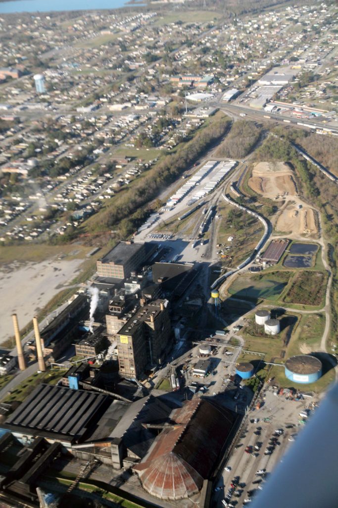
Check out those railroad tracks!
Three minutes later, we are over a place that reaching by automobile from Arabi takes much longer than three minutes!
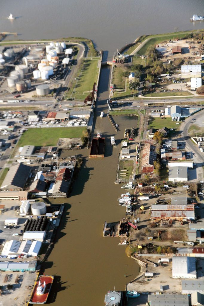
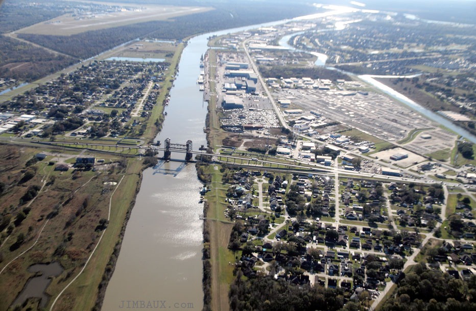
This is Harvey, and we are looking up the Harvey Canal toward the Mississippi River.
Next, we see Marerro, with the old Johns Manville plant at right and the old Celotex plant at left, both facilities now largely dormant, though yard area of the former plant is now used as a pipe yard.
The Johns Manville plant was built and opened in 1936 to manufacture asbestos building materials, like pipe, roofing shingles, and insulation, and it closed in the 1980s once people realized how problematic asbestos is.
Next, we are over the NOLA Motorsports place.
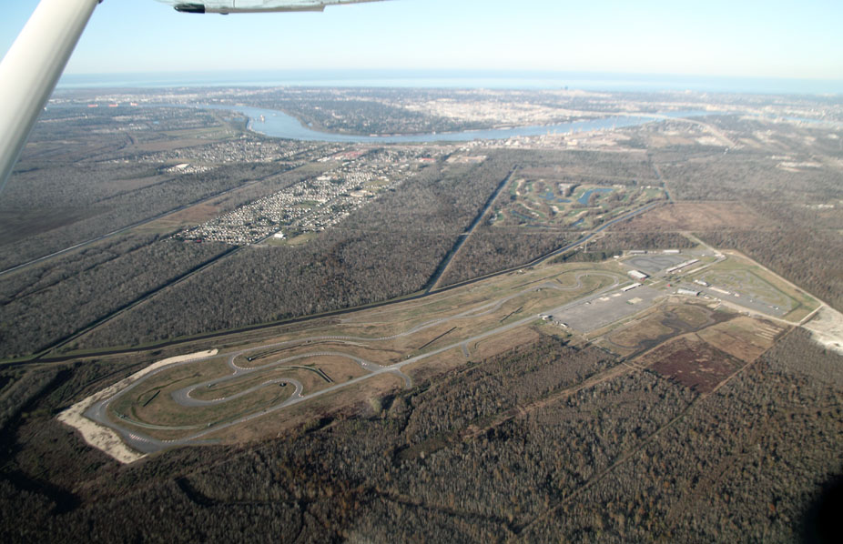
We were heading west, away from the metro New Orleans area!
This is the Discovery gas plant at Paradís.
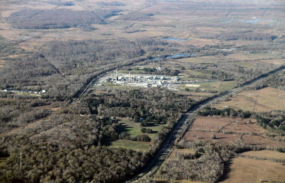
You can see US Highway 90 at right and the old highway next to the railroad track at left.
Below, we are looking in the other direction at the community of Des Allemands, where you see four bridges: at left, the two directions of US Highway 90, then the hold highway, then the railroad bridge.
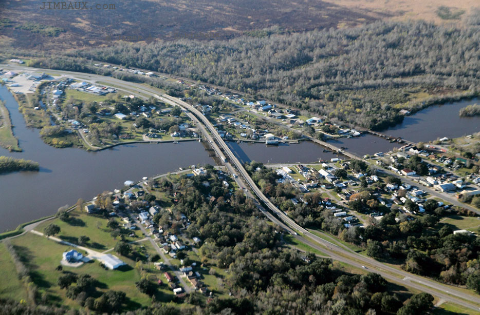
That is Bayou Des Allemands, though I forget if the town is named after the bayou or the bayou after the town, but the name comes from the fact that many of the white settlers to this area were German.
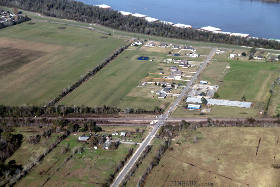
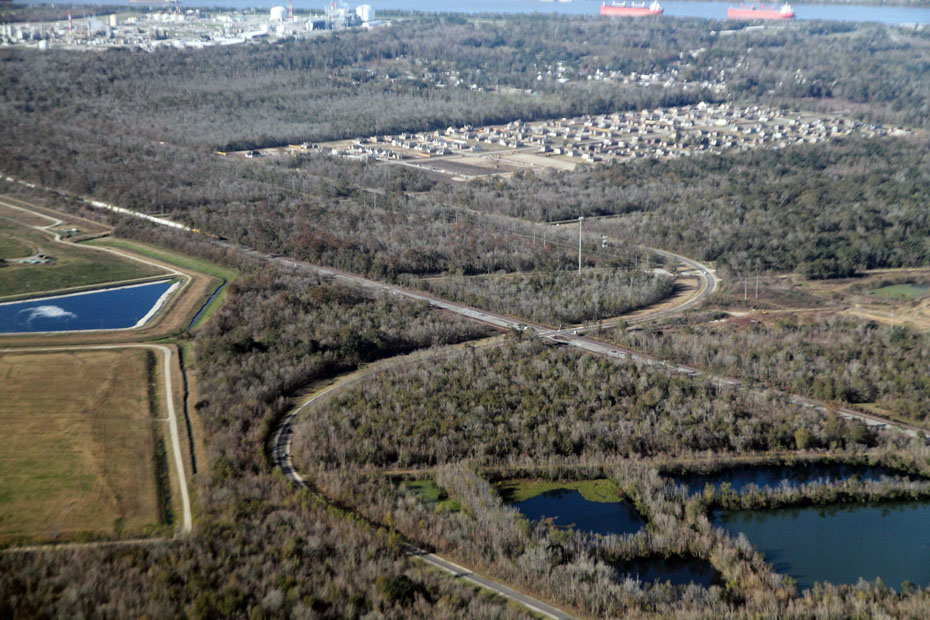
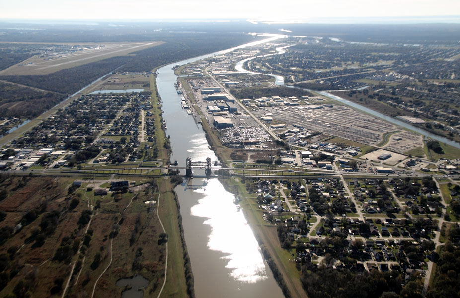
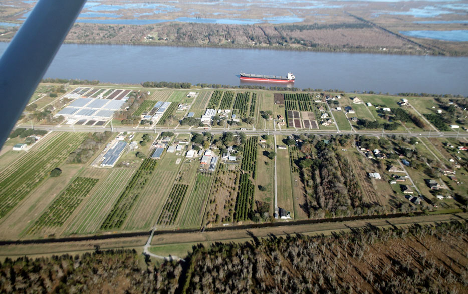
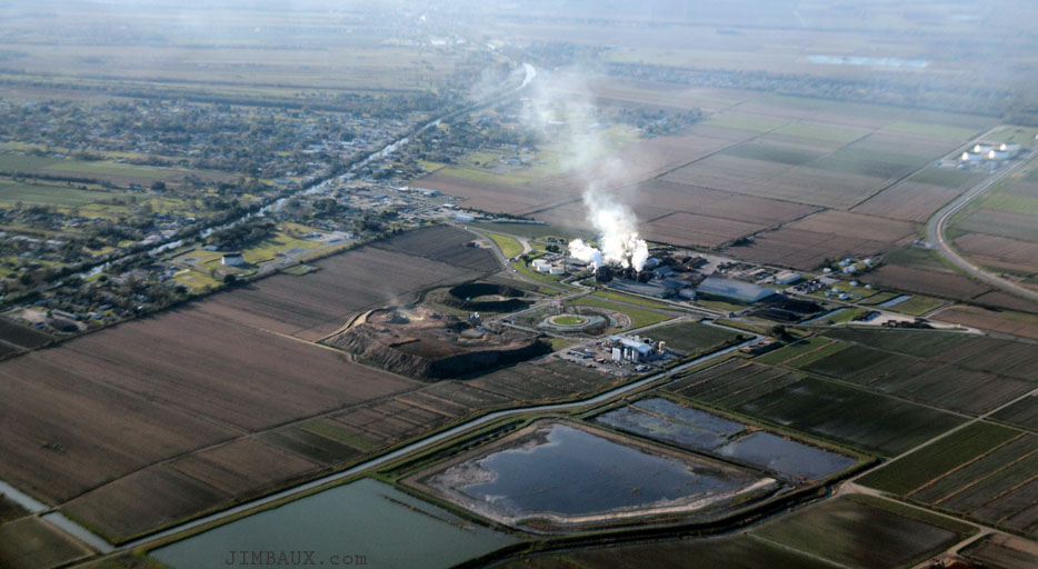
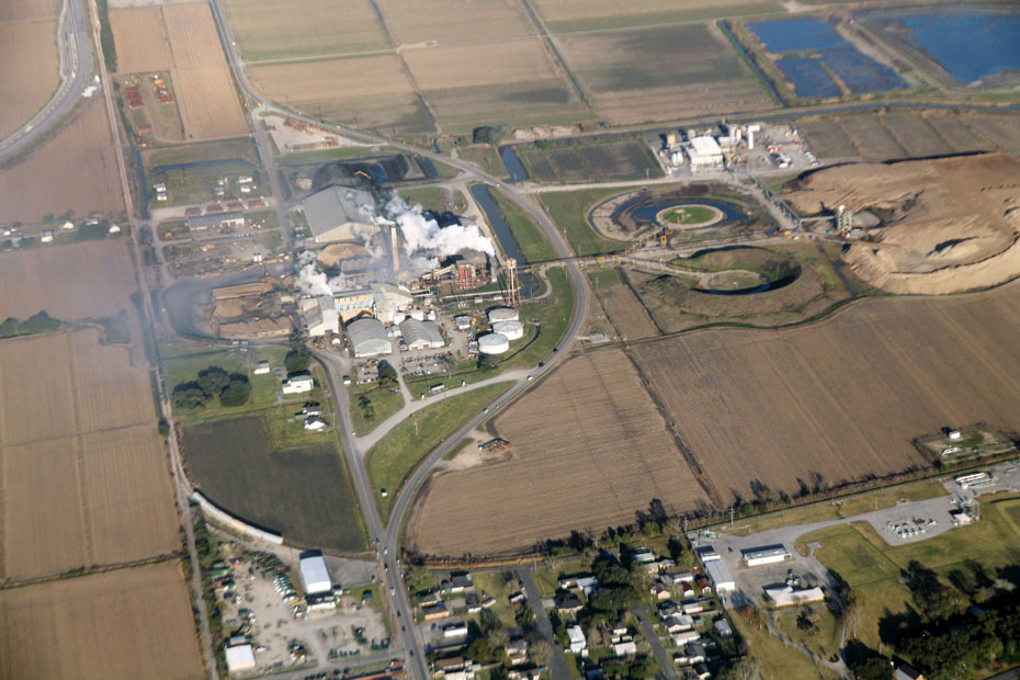
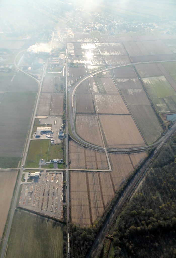
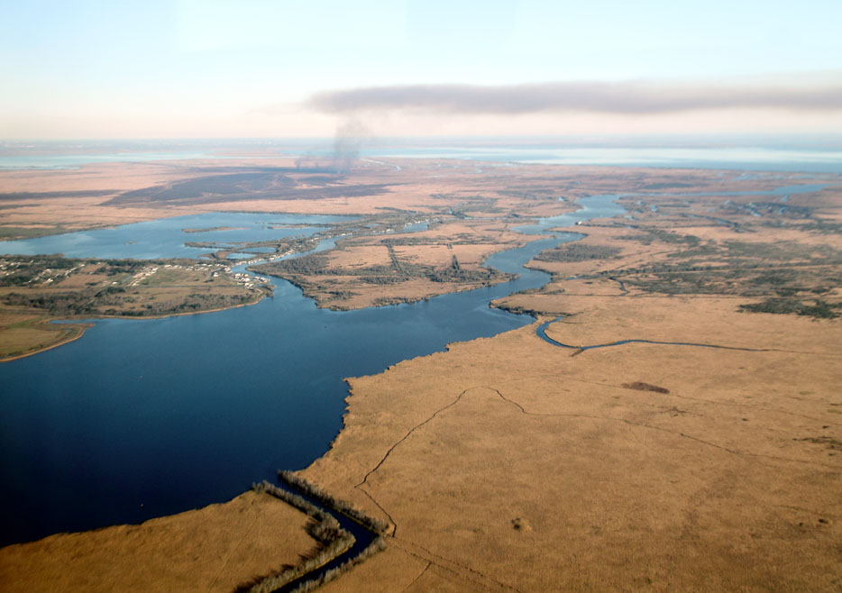
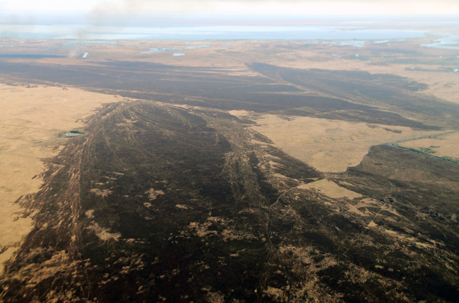
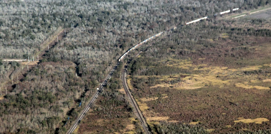
Next, we are getting close to Raceland, our target for this westward foray, and we are getting back over more solid ground as we see sugarcane fields on fire.
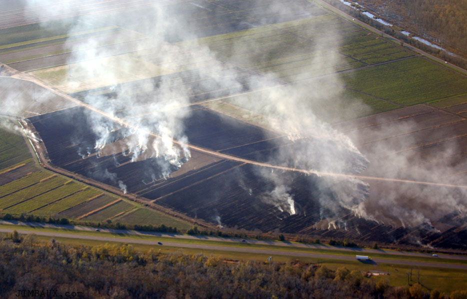
That is US Highway 90 near the bottom of the picture, and the old highway in front of the railroad mainline at the top.
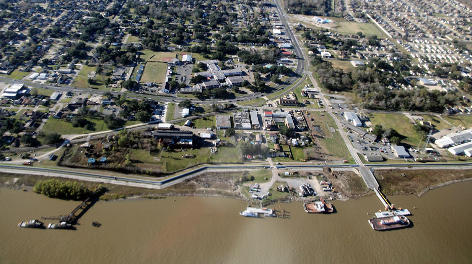
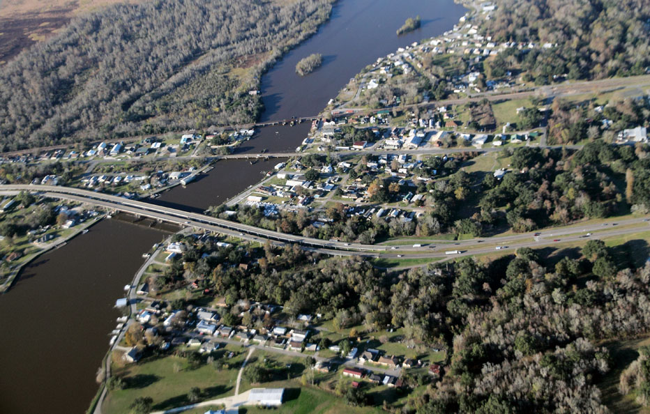
There is Raceland Raw Sugar and much of the community of Raceland, which has special meaning for me, itself.
Bayou Lafourche can be seen in the upper left part of the image, and, at the far right of the image, can be seen the new Genesis crude-oil-by-rail terminal.
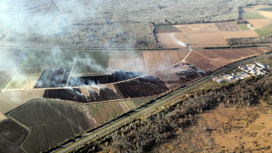
Here, we see piles of bagasse southeast of and across the highway from the sugar mill.
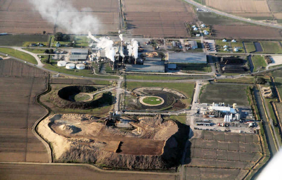
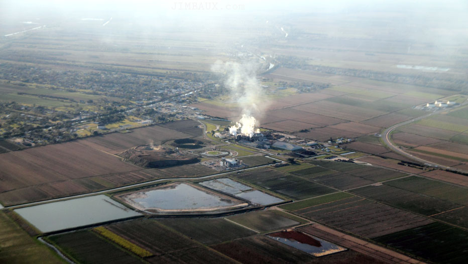
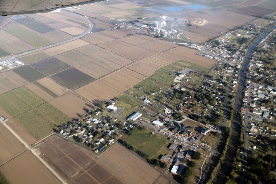
This next view is one of my favorite views of the day. It shows the entirety of the mill along with sugarcane fields that feed it with sugarcane, plus the old highway, plus the wooded and swampy area in the background with the really long railroad mainline curve in front of it, plus the beginnings of the railroad branches to Raceland and Lockport, and plus the new track, at center left, that is part of the Genesis crude oil terminal that I wish had never been built.
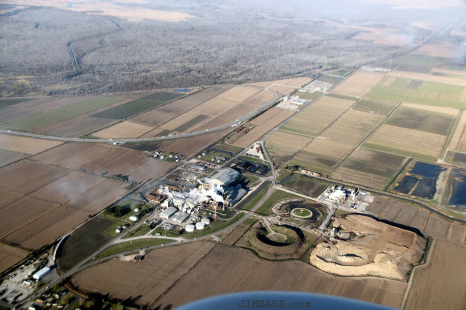
Well, I like the next scene plenty, too, since it shows parts of the oldest parts of Raceland and a better look at Bayou Lafourche.
I really miss the Lockport Branch and the cool boxcars, cool tank cars, and cool locomotives that ran on it two decades ago.
I photographed the last railroad delivery to Valentine Paper on Saturday 8 December 2007 crossing the highway right there.
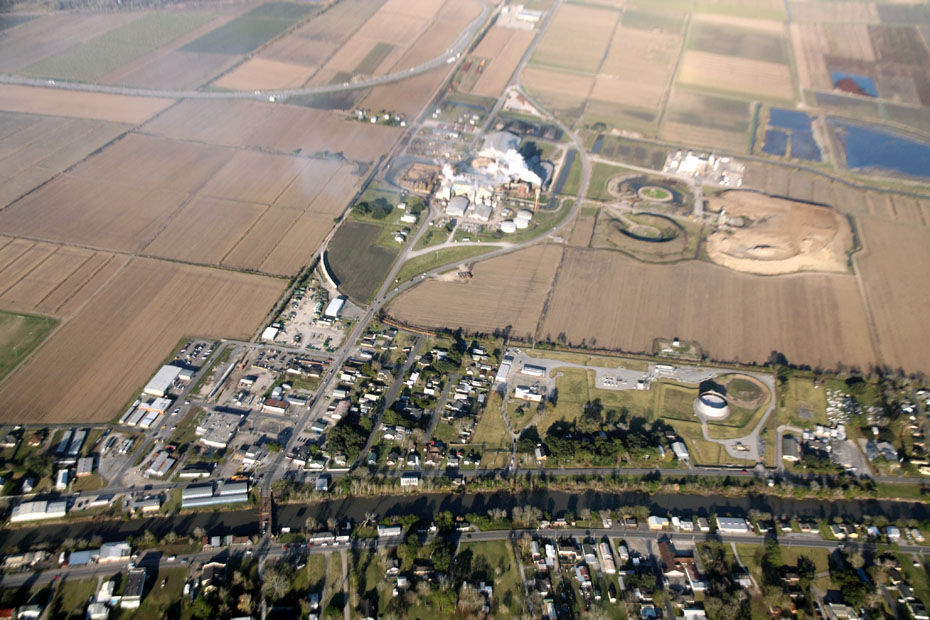
Now, we’ve gone up the bayou about a mile and are turning to head back east, and I like this view, which shows the schools and the neighborhood at left that has some significance for me.
As we head back east, near the beginning of the Lockport Branch and the wye, we see the back of the MTI place at right, which got some cool UP family hopper cars when it opened about 20 years ago, and the new steel place at left which I wonder why doesn’t get rail service.
It’s important to note that there is a Genesis-oil-terminal track tucked in right there by the wye; so, there are tracks, each having a different owner, right next to each other making that sharp curve.
That Genesis facility opened just at about the time that the crude-by-rail boom subsided.
So long, Raceland.
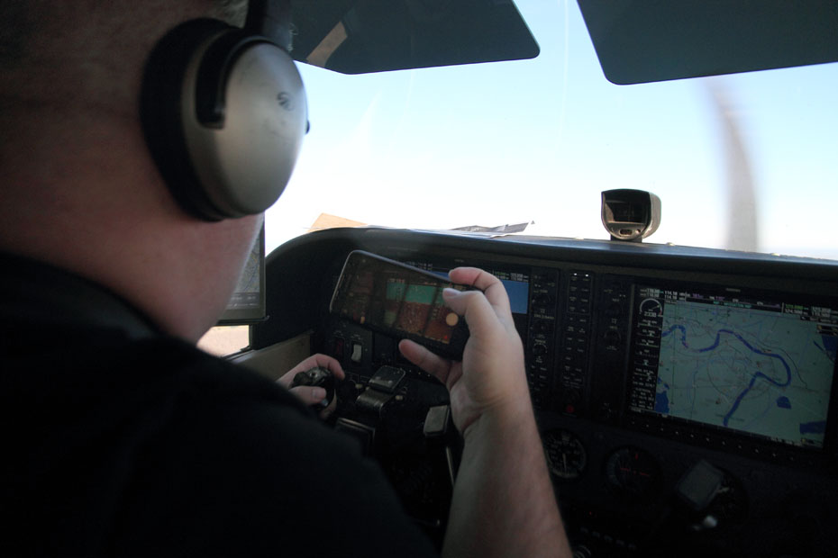
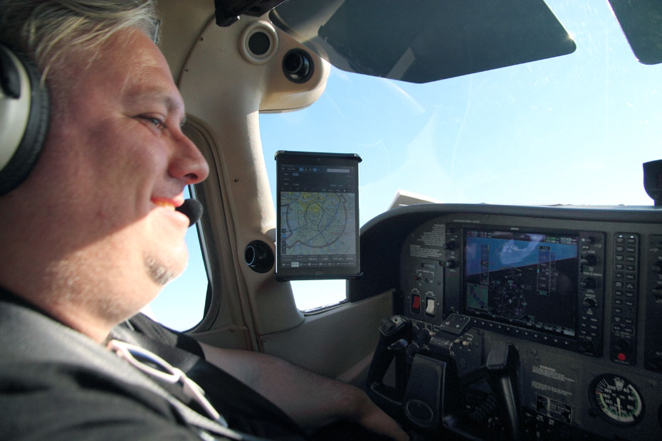
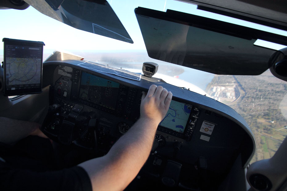
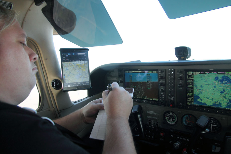
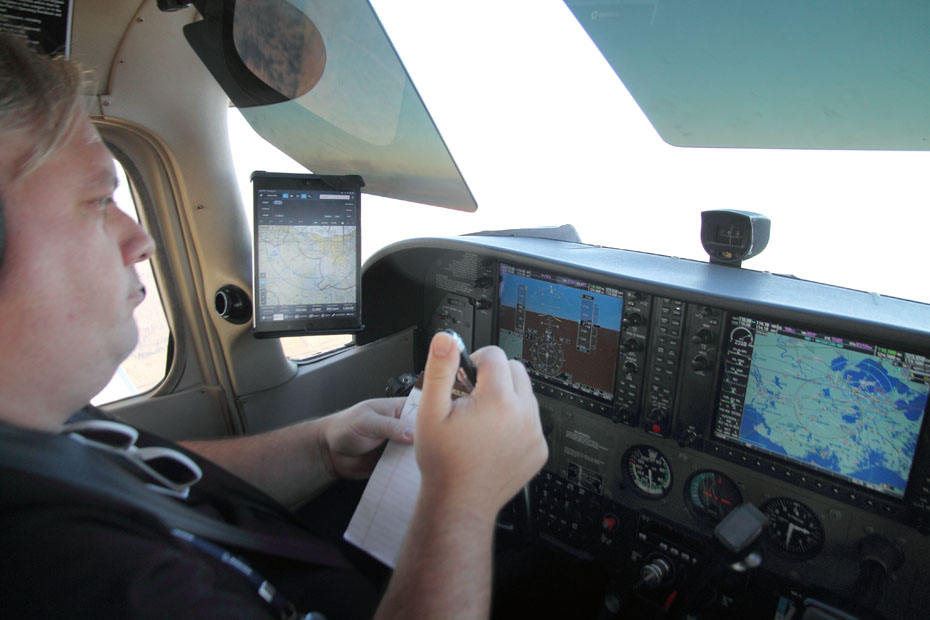
The pilot is taking notes!
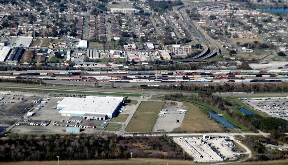
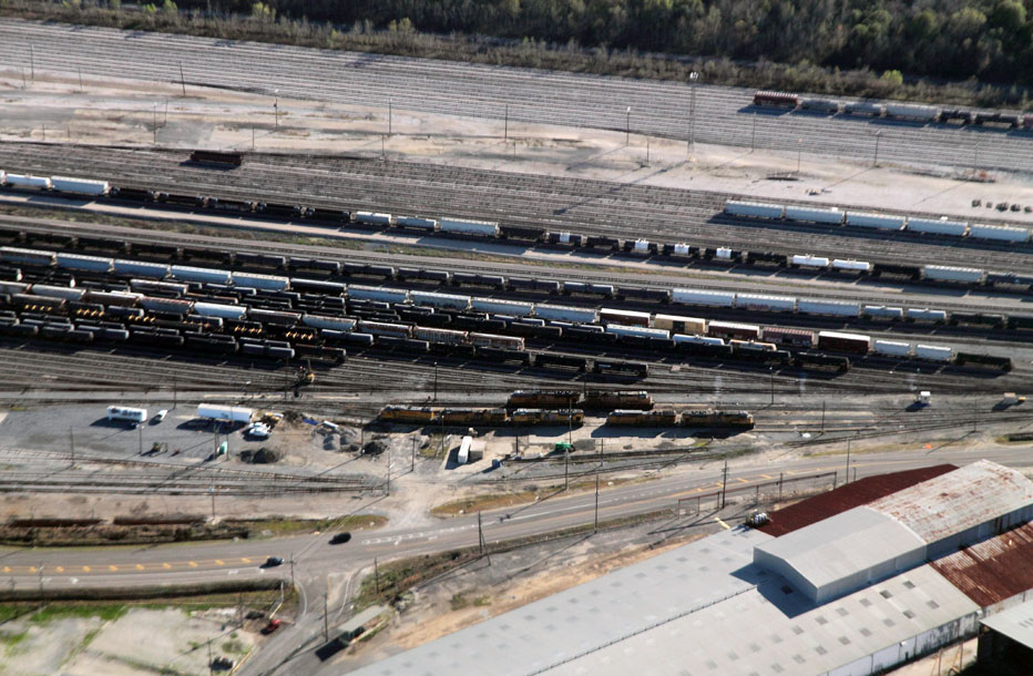
I think that we wanted to go by the NOGC one more time and make a pass by the Kansas City Southern Railway and Canadian National Railway yards.
What is this design thing out in the swamps and marshes somewhere south of Des Allemands in Lafourche Parish?
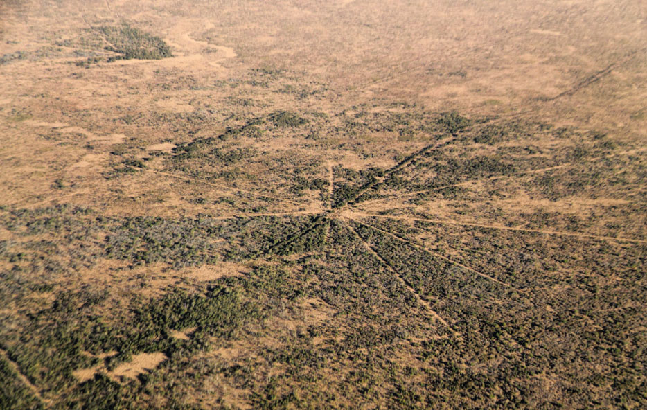
This is Petit Lac Des Allemands.
Next, we are over Saint Charles Parish, looking southward.
Next, we are approaching Live Oak again, this time from the other way, and we see where the two mainlines – today, the UP Livonia Subdivision and the BNSF Railway Lafayette Subdivision – diverge, right at where the parish line crosses them.
Let’s see a cropped version of that image. The parish line crosses the mainlines between that barely-visible industry switch off of the Livonia Subdivision and the back of that train.
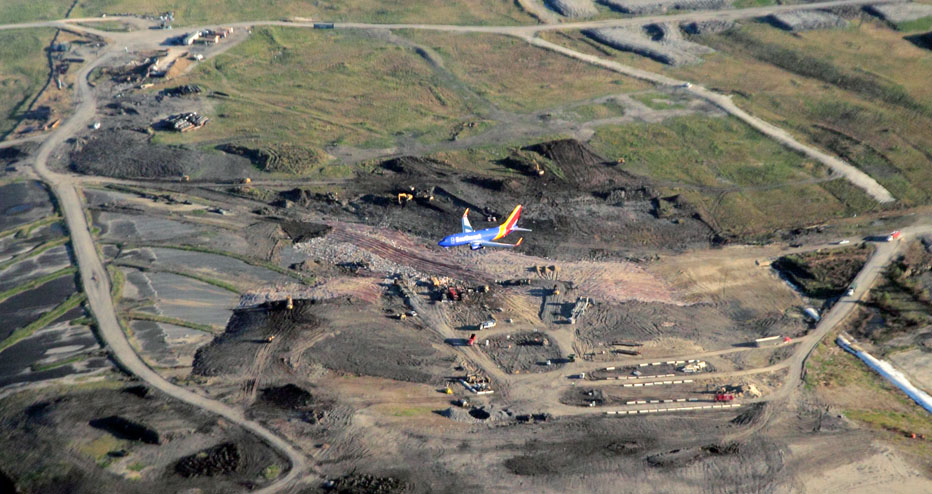
Here comes a Southwest Airlines flight in for a landing!
We pass by the New Orleans International Airport and look northwestward up the old Illinois Central Railroad mainline.
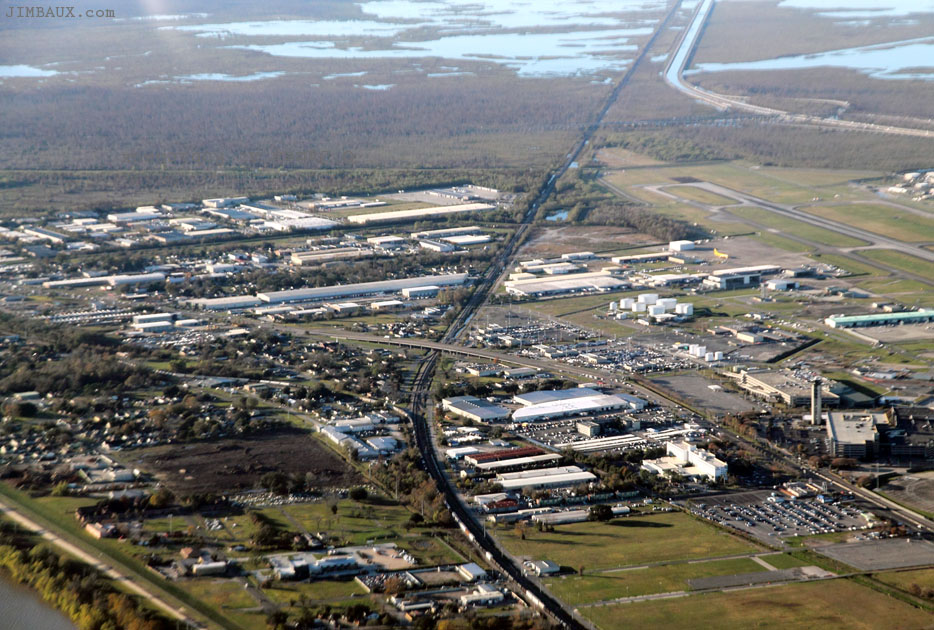
You almost can’t see the I-310 bridge over the track in the background, because it is backlit.
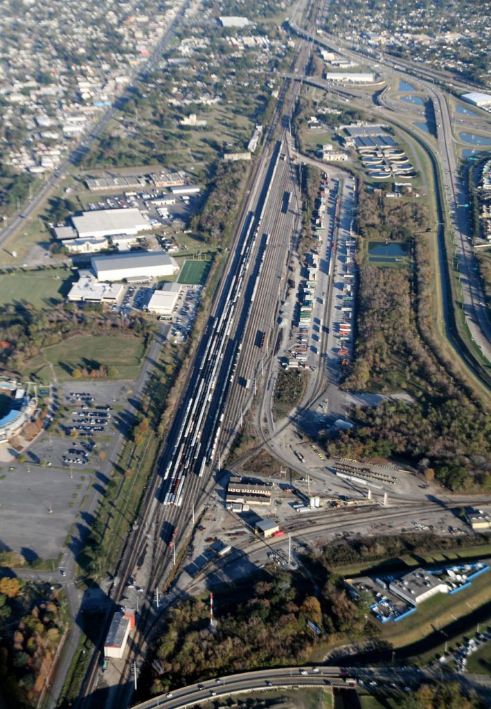
I forget why, I think that due to one of the runways at MSY being closed and the tower needing the airspace leading to the other one, we had to cut the fun short and head back to Lakefront Airport and land, and, so, this was the best shot I could get of CN Mays Yard.
Porkchop is bringing us in for the landing.
It’s been fun, and I got plenty of pictures.
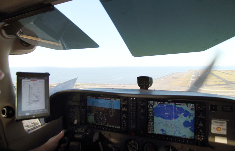
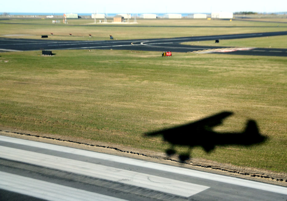
Can you tell that we are about to land?
Do you see the runway?
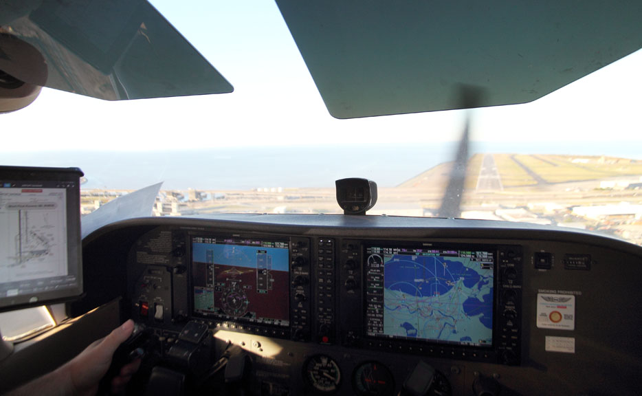
We are about to land!
That’s all, folks.
Thanks, Chop.
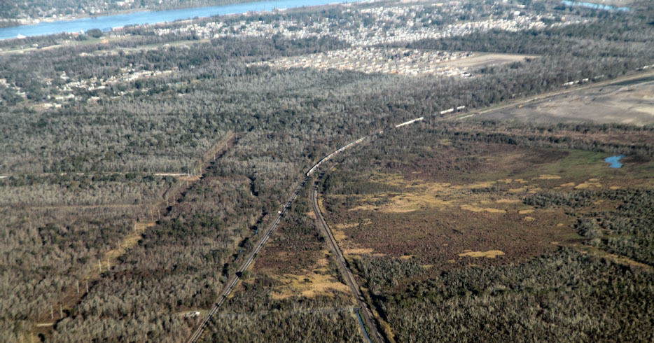
After leaving the airport, I did photograph one train from the ground!
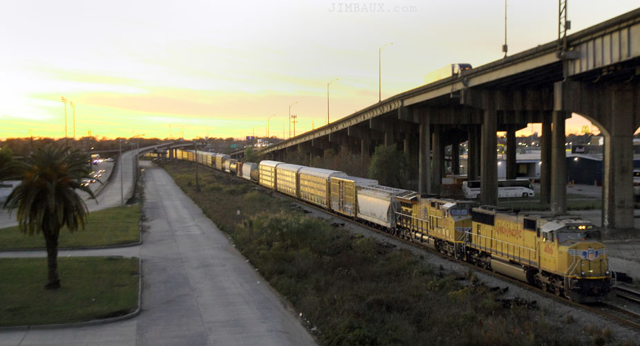
That is some Union Pacific Railroad manifest train on CSX rails at Alvar Street about a thousand feed from crossing the Inner-Harbor Navigational Canal and entering CSX Gentilly Yard, one of our first photo targets of the day.
Okay, well, this was a good thing to do before I leave New Orleans permanently; so, I hope that you liked it!
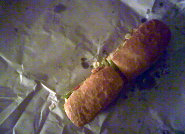
It’s time for me to head to the John & Mary store to get a shrimp poboy; while waiting, I notice the newspaper.
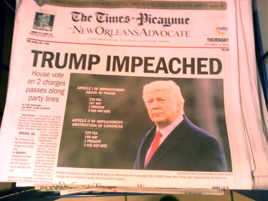
Okay, but there is so much more that he has done over which you could have impeached him, actually deadly stuff, but, for some reason, the Democratic Party leadership doesn’t want to go there.
Anyway, it’s time to eat.
Today was a good day!
Peace and merry Christmas to all.
Jim