[If it keeps on raining . . . . . ]
My pain is your gain (well, maybe not.) I’ve succumbed to some sort of illness and am stuck inside; the good news is that I’m addressing the backlog of content to put here on Jimbaux’s Journal! Can you believe that we’re more than halfway through the month with only the third post?
I was out and about on either side of the Bonnet Carré Spillway on the morning of Saturday 1 October because I had to be in LaPlace to meet up with my old pal Moose, whom I had not seen in more than eight years when he moved away from southeastern Louisiana! Hey, some of us are smart enough to stay away, and some of us are not!
After taking a few football pictures at Tad Gormley Stadium, I crashed that Friday night at The Cajun Porkchop’s Pig Pen in The ‘Han because it was on my way to Moose, and because ‘Chop and I were in need of a visit anyway.
Saturday . . . In The ‘Han . . . I Think It Was The First of October
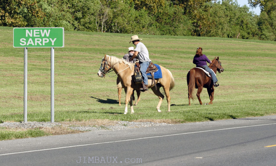
After I left The Pig Pen on Saturday morning, after Porkchop went to work, I made my way to the spillway via River Road, as I wanted to see if I could catch some railroad action there before meeting with Moose in LaPlace, which is on the other side of the spillway from The ‘Han. Anyway, here’s what I saw on River Road on the way to the spillway.
It’s actually a common sight on the Mississippi River levee.
The Great, Illustrious Bonnet Carré Spillway
The Bonnet Carré Spillway is a major earthwork and flood control structure built in response to the devastation wrought by The Great Flood of 1927 (the event that inspired the writing of today’s song), designed to spare New Orleans of disastrous river flooding, which it has successfully done since it was built in the 1930s.
Anyway, I got lucky; not long after I left The Pig Pen, comint revealed an approaching southbound on the KCS, meaning that train gods were providing me with a train at the right time and the right direction. Once I got to the spillway and got set up, I had to wait about 15 minutes for the train; that was not at all a problem on such a beautiful, cool morning, the first cool day this season, really, especially since this was my first time at the spillway in more than a year.
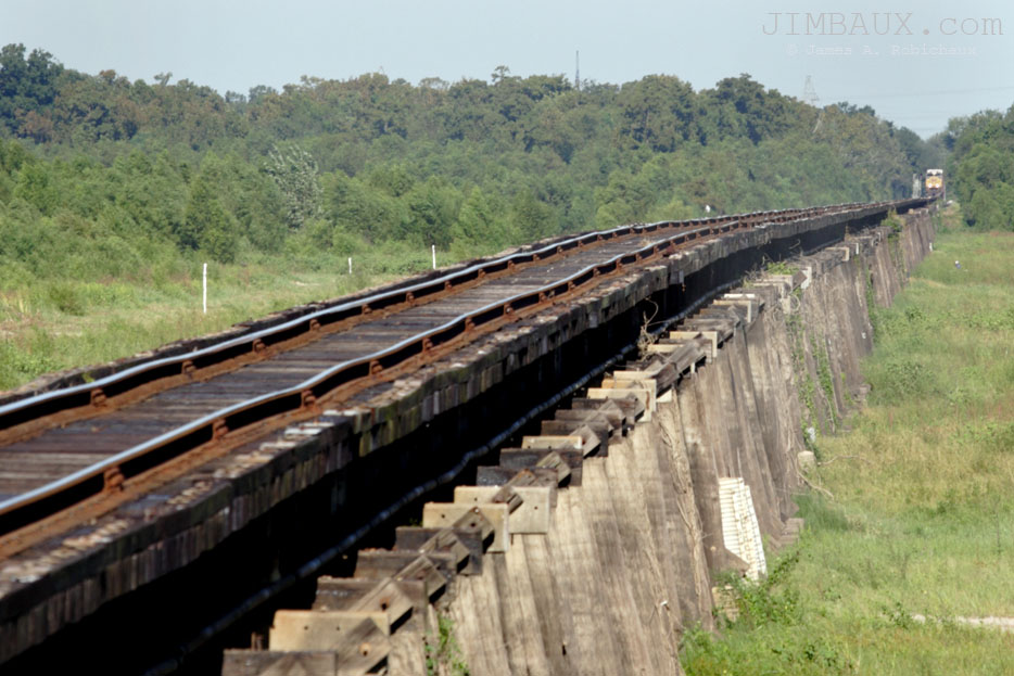
A mile-and-a-half away, the headlight appeared in the distance.
There’s a 10mph speed limit on the bridge (and a 10mph speed limit on the ex-IC bridge closer to the river.)
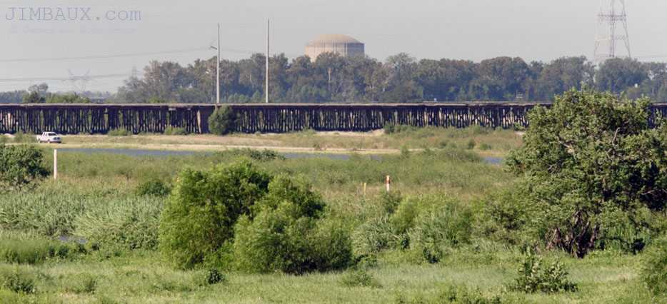
Photographing A Nuclear Power Plant Across The River
Yes, dudes, it’s totally possible in this day of reduced or threatened freedoms. It’s also something to do as the train slowly creeps toward my position.
Between the power plant cooler and this lens are the biggest river on the continent and three mainline railroads: the Union Pacific’s former Missouri Pacific, former Texas & Pacific line near the power plant, the Canadian National Railway’s former Illinois Central, former Yazoo & Mississippi Valley line on the bridge you see above, and the Kansas City Southern’s former Louisiana & Arkansas line just a few feet in front of me.
KCS
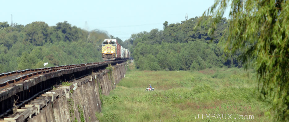
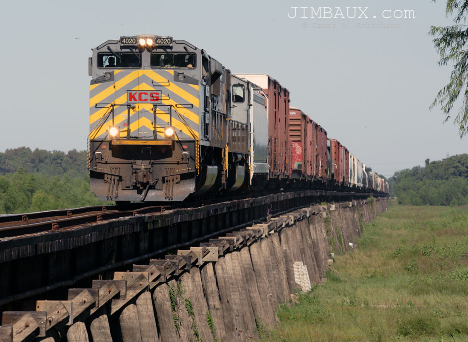
Kansas City Southern Railway train M-SHCX is a daily train of out KCS’s hub in Shreveport bound for interchange to the CSX Railway in New Orleans.
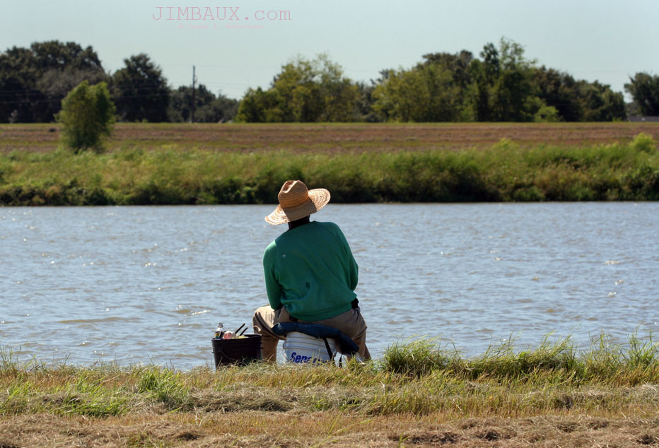
The four-wheeler above seen to the bottom right of the train shows what a popular recreational area the spillway is for nearby residents.
Shell
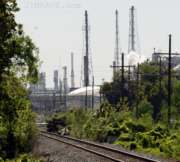
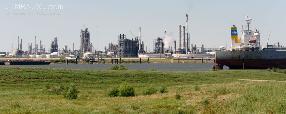
Below is a look back toward the Shell refinery that is KCS’s biggest traffic originator this far down the line from Shreveport.
The refinery is also the major employer in Norco, a town that, itself, gets its name from the acronym of the New Orleans Refining Company.
Terrorism Ignored? Nope
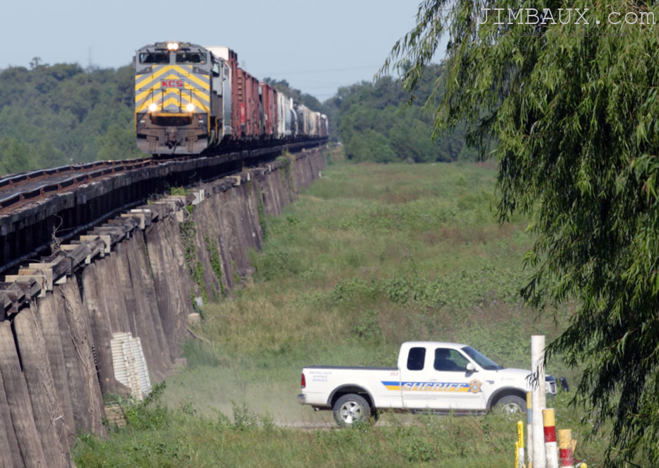
Apparently, the sheriff deputy in the truck is either apathetic or oblivious (more likely) to my presence.
Once again, it shows the fallacy of the idea that we can somehow “secure” our railroad network.
What Train Is This?
Isn’t that a Christmas song? Anyway, this is train M-SHCX. I’m just realizing that I already wrote that above, but this is what happens when posts get written in different sittings over several days because I lack the time and energy to do it all at once! It’s the night of Thursday 20 October as I type this, but the stuff above the refinery picture was written the day before. Have I mentioned that I’m really busy, tired, and even sick?
Anyway, here is what we seem to undoubtedly now know to be KCS train M-SHCX.
I’ve been fortunate to be able to photograph a few KCS trains crossing the spillway in the rare times that it has been flooded with water. Such a shot that I did from the other side of the spillway in 2008, when the spillway was opened for the first time in 11 years, was purchased by KCS and used in the 2009 company calendar. In fact, if you dig around the KCS website hard enough you’ll find the picture! It’s very impressionistic looking.
Actually, I think that the above pictures are the first KCS pictures on the Bonnet Carré Spillway that I shoot since 2008.
Okay, now it’s the morning of Friday 21 October as I type this, still sick, etc. Three days to type one blog post? Let’s hope I can get it done today, while I’m still home and sick!
A Little Bit More Time To Kill
And since I keep talking about the dates that I’m typing this, I guess I should remind everyone that all of these pictures were taken Saturday 1 October. The arrival of the new month as well as the arrival of my old friend Moose finally brought some cool, fall weather to Louisiana.
As it was, Moose was still busy with his prior engagement, meaning that I had a little bit more time to kill at the spillway and-or the tracks. So, I drove under the KCS bridge toward the IC bridge and the front of the spillway, and between the two bridges, I turned back north and shot this.
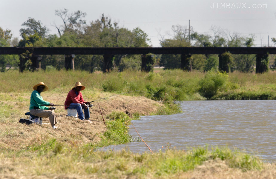
This shot shows that the spillway is a recreational area (when it’s not occasionally serving the purpose of being a path for floodwater) as well as the KCS bridge in the background, the bridge seen in the earlier shots. Part 2 will show the other bridge, the CN (former IC) bridge.
Here’s another recreational picture of recreation.
Isn’t that nice?
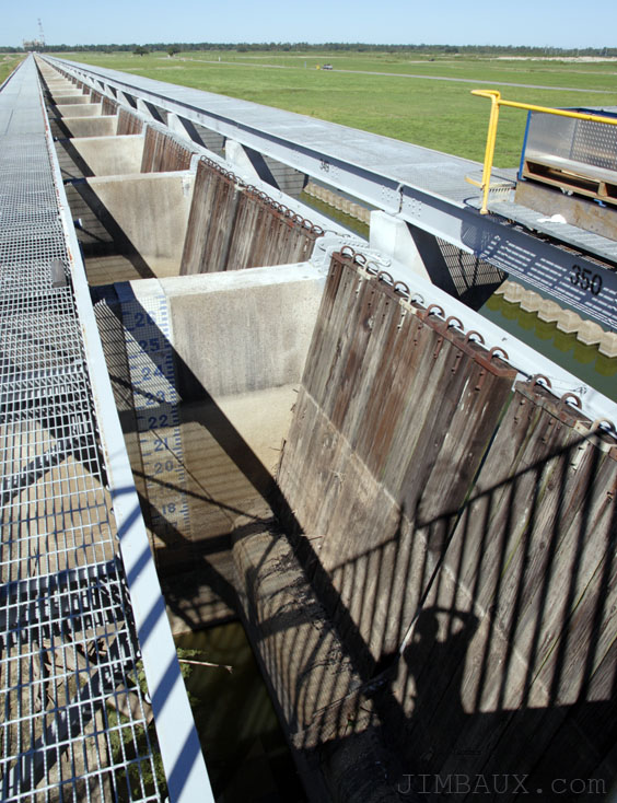
The Control Structure
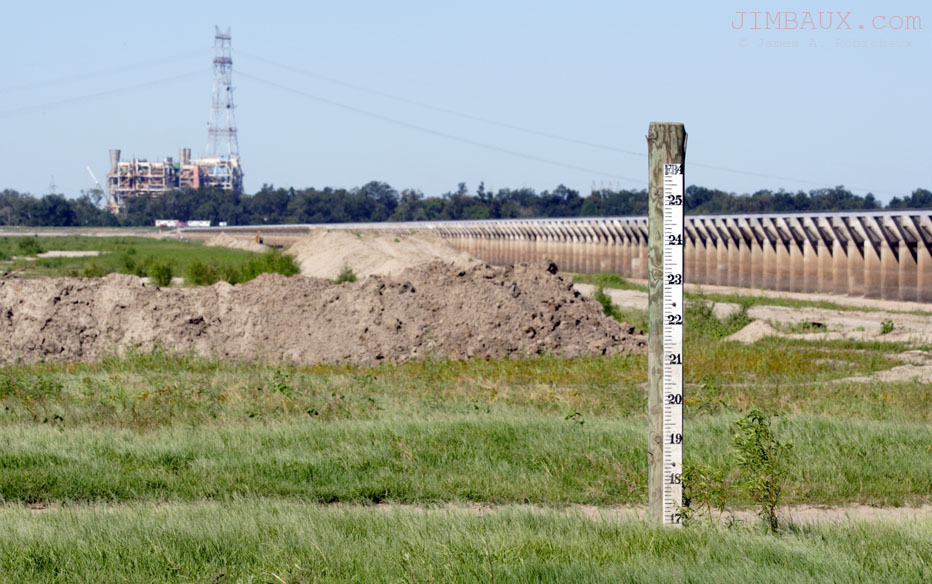
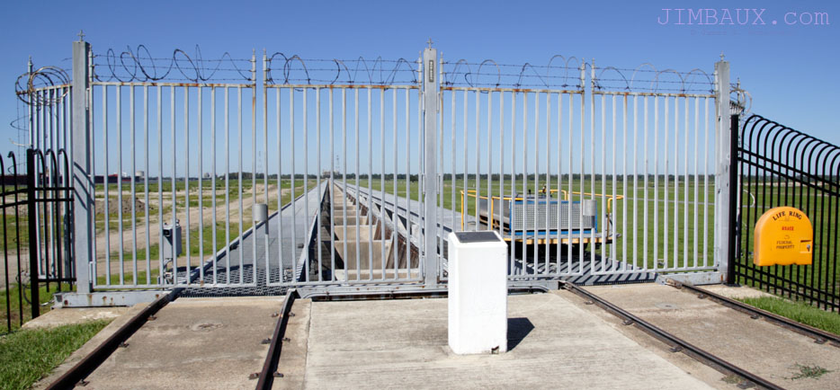
This is the downriver end of the control structure of the spillway.
The trees in the background of the below picture are on the other side of the levee that comprises the western (upriver) wall of the spillway. They are more than a mile-and-a-half away.
You’ll see that there are two tracks going across the top of the entire length of the concrete opening. These exist to pull the wooden needles that act as doors upward to allow the water to flow through.
The Forebay And The Control Structure
Here’s a few of the area called the forebay and the river side of the control structure. In times of high water, this area is inundated, regardless of whether or not the spillway opens.
Here’s a view across the Mississippi River, and it shows multiple ways, the vitality of the river to the local economy as well as the national economy.
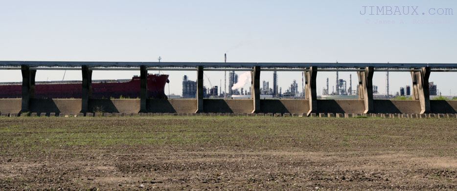
Putting the smaller lens on the camera for the first time today, here is a different view of the downriver (eastern) end of the control structure.
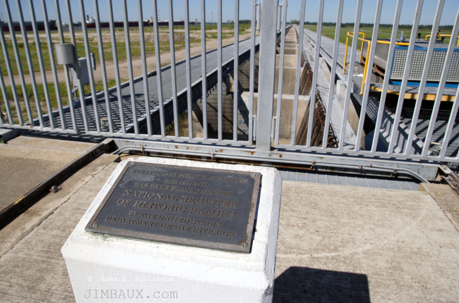
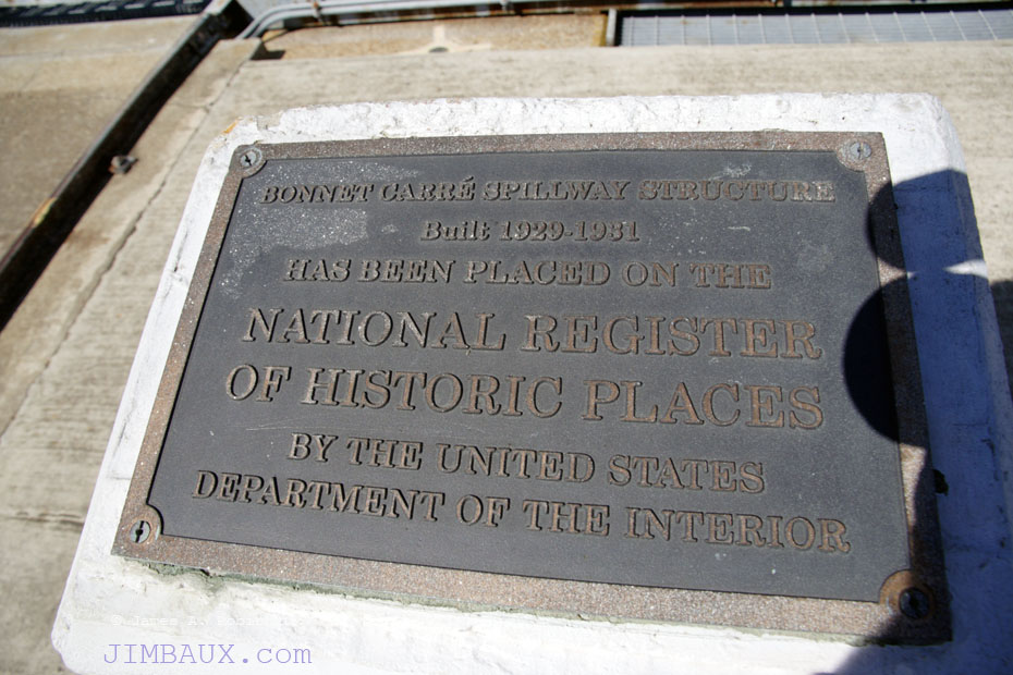
Yes, the Bonnet Carré Spillway is on the National Register of Historic Places. In the below wide-angle picture, you can see more ships in the river in the background!
Also, you can barely see some of the wooden needles at right.
Hey, look, the below picture is a self-portrait!
The below picture (another self-portrait), about as wide-angle as I can get, shows much better the needles. Do you see the hooks at the top of the needles? That’s how they are pulled up, allowing the water to come through.
In the background, you can see inside of the spillway again. You’ll also see a small road, which is the road that I will traverse after I take this picture. It’s Spillway Road, and whenever the spillway is open, the fact that the road is not only closed but under several feet of water snarls some traffic in the area, particularly school buses that normally use it, vexing school bus pickup schedules. Also, the road has to be repaired after the water recedes each time the spillway opens.
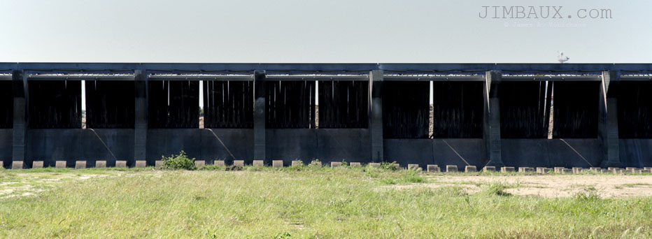
Below, we see the backside of the control structure from Spillway Road, and we can see daylight through the needles!
Obviously, it’s not a totally waterproof system, and, in times of high water and the need for opening the spillway, water does seep into the spillway before any needles are raised and the spillway officially opened.
Apparently, the needles in this part of the spillway are out for repair. With the water level in the river being safely normal, there is no threat now.
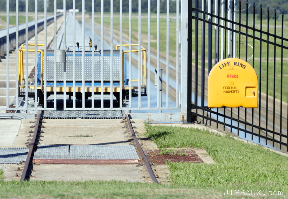
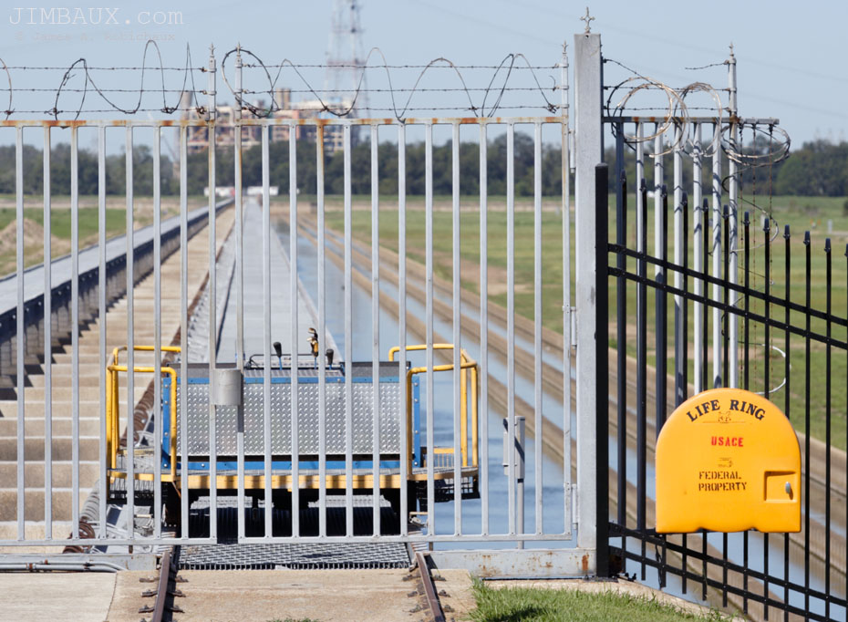
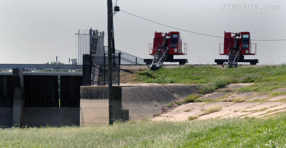
Below, I’m finally on the other side of the spillway, the western-upriver side, and you can see little cranes on rail cars that pull the needles up, opening the spillway.
I was on my way to see my pal Moose, but before I met up with him, I got some action on the Canadian National Railway, and even more action once Moose was alongside. You’ll see all of that next time in Part 2. In the meantime, as many of you have already seen, here’s a preview of the action that Moose and I saw. Don’t forget to “Like” the page!
So, wow, I actually finished the post this time? Sweet! Like I said, it might not have happened this fast had I not been sick.
Check These Out
Y’all need to check out this adorable “Picking Okra” story from Joy. She’s really got some great shots and a great story to go along with it. After that, check out these shots of her children; it’s great stuff. Also, the old barns, tools, dogs, cats, and roads she shows here are great too.
Whole Foods Parking Lot Rap
This is hilarious! Have you seen it? Turn the speakers way up!
Well, anyway, that is about a rap for me. I was thinking of typing some political predictions here, but I’ll save that for later. I’m just happy to get this post out, as it has taken so long. What is your favorite picture here and why?
Merci
Jimbaux

{ 5 comments… read them below or add one }
Jimbo:
Thanks for the pictures. No excuse for not having visited me!!
Great pix… but I repeat myself.
as ever, telling a story in almost literary fashion, but with telling pictures, enhanced with sepia, b&w, and color with tones addes or subtracted… but with a GREAT camera, one can do that… if ONE has both the skills and the ‘artistic inclination’ to so ‘paint a word picture…
very nicely done, James…
good to see friends…
HNB
Jimbo, thanks for showing some of the things we hear about but never get to see. Sometime when my wife and I are down that way maybe we can go see the spillway in person. My wife has a grandson that lives in Denham Springs and we normally come down around Christmas.
CW, As far as I know, KCS operations over the spillway don’t run on much of a predictable schedule, but CN’s do (partly because they are originating from closer places than KCS trains, but CN does run a more scheduled railroad in general.) You are basically assured of seeing A419 followed by the L516 on the spillway on the CN’s bridge closest to the river between midday and 15:00. See the subsequent post for more information. L516 will go back upriver across the spillway hours later, but if you’re coming here in December, that will be well after dark!
Well, to answer the challenge you have presented in the end, my favorite is the long shot of the bridge with jointed rail and wobbly track. Second might be the random horses. They remind me of my corner (or more spot, since I’m in the middle) of Texas, where horses are in fact not uncommon transportation.
Thanks for rehashing your old posts, sometimes that ends up being the only way I read them.
Nathan
{ 4 trackbacks }