This is part of the Eastern Great Plains Spring Break 2012 Road Trip series.
So It Begins
So it begins, on Friday 30 March 2012, I began the last substantial-sized road trip of what remained of what could, by then, loosely be called my “youth.”
Since the transmission of my truck failed a week or so before, and since that meant that I needed to both pay plenty of money to fix it and pay for a rental automobile if I went on this trip, I was taking a big financial risk, and I seriously considered just not doing it, but I knew that the suffering that I experienced in the past two years meant that I needed to do this trip, if for no reason other than, if my travel days were ending, my last memory of travel of this distance would be this rather than what it otherwise would have been.
As I wrote in the “March 2012 Sampler” essay, all of this happened to happen at what was a momentous time for me as I finally walked out of the school where I had made a name for myself, where I had my best professional success, for good, and I had just started a new job in journalism. Because I had scheduled this trip before the job change, I was allowed to make this trip after a two-week introduction at the new job before returning from the trip and really diving into the new job.
On this trip, I ate terribly, indulging in local varieties of fast food, worsening a bad diet that I had before. When I returned and dived into the new job, I went into a much-improved diet, but I went into it too quickly, which ended up being a problem that had me sick!
On the one-year anniversary of these 30 March 2012 images being made, I published a blog article with these pictures and the stories behind them, and, then, the next day, I published the pictures from the next day of the trip.
There was no way then, in 2013, that I had the time to do this for each of the 10 days of the trip. So, it wasn’t until 2015 that I published the post from days three and four of the trip, and, in 2017, that I published the pictures from day five of the trip. I never got past that, hoping that, on the 10-year anniversary of the trip, I’d get the rest of the images published.
That’s what I am doing now with this project now in 2022 as I type this, but, so as to make both the narrative and the website links consistent, I am making new posts even from the first day of the trip, so that all of them were written at about the same time with the same frame of mind, hindsight, and perspective.
Let’s Get Right To It
I have no memory of any of the trip prior to my arrival at Kansas City Southern Railway’s main yard north of Shreveport. Worse, I cannot find any notes that I took on the trip, and I cannot find one old audio recorder that I am nearly certain that I brought on the trip. The only ways that I know what any of the contents of the pictures in this series are are a few old e-mail messages that I managed to find, the old posts from the first few days of the trip, filenames from the few pictures that I processed while I was on the trip, a few old Facebook posts, my knowledge of the places that I visited, and Google Satellite View, Google Street View, and my abilities at using them and interpreting the results, connecting what I see on those programs to the images that I made and the general paths that I remember taking.
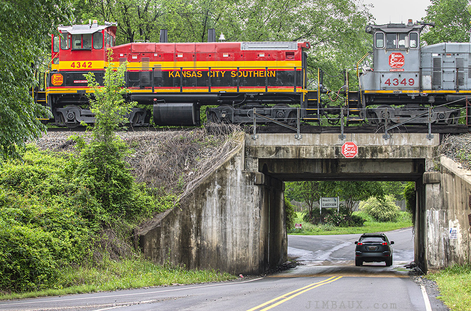
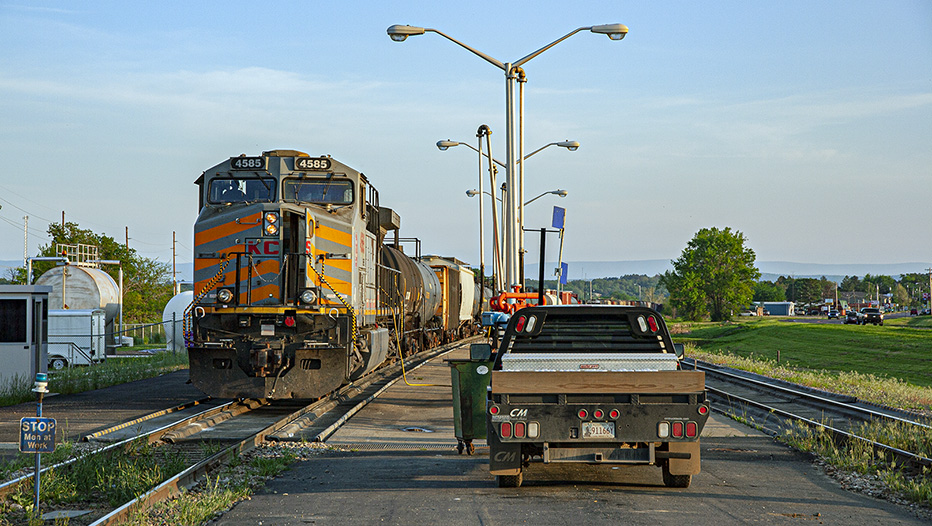
Yeah, so, this is KCS’s Shreveport Yard, which is really in the community of Blanchard, Louisiana.
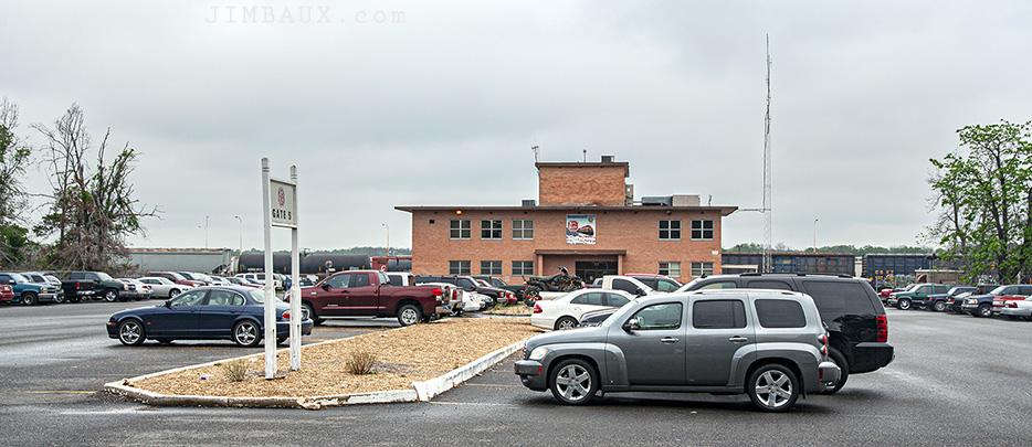
This yard is the operational hub of the Kansas City Southern Railway.
I was part of a group that got to have a formal tour of the yard in 2006.
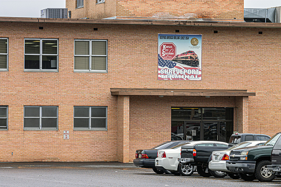
Those two pictures are of the crew office.
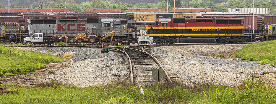
That’s all for the KCS yard. It was time that I headed north, soon to leave Louisiana for a week.
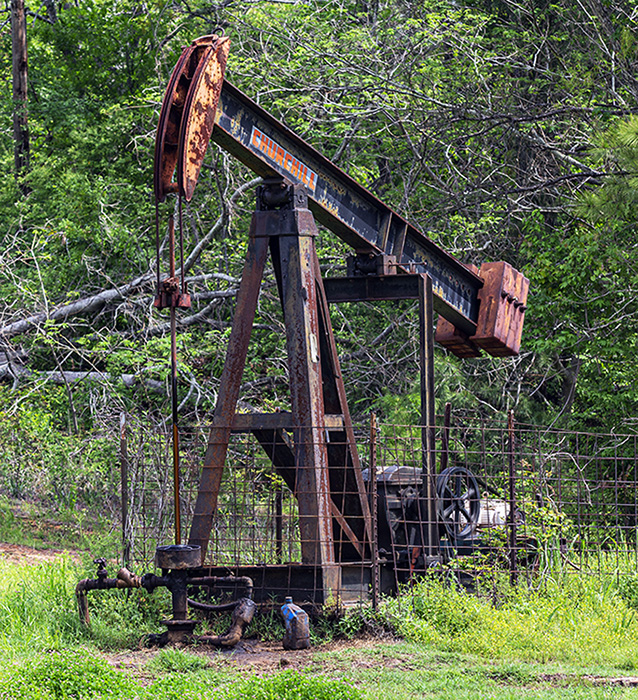
Here is an oil-well pump in Vivian, Louisiana.
I arrive at the tripoint at which Arkansas, Louisiana, and Mississippi meet.
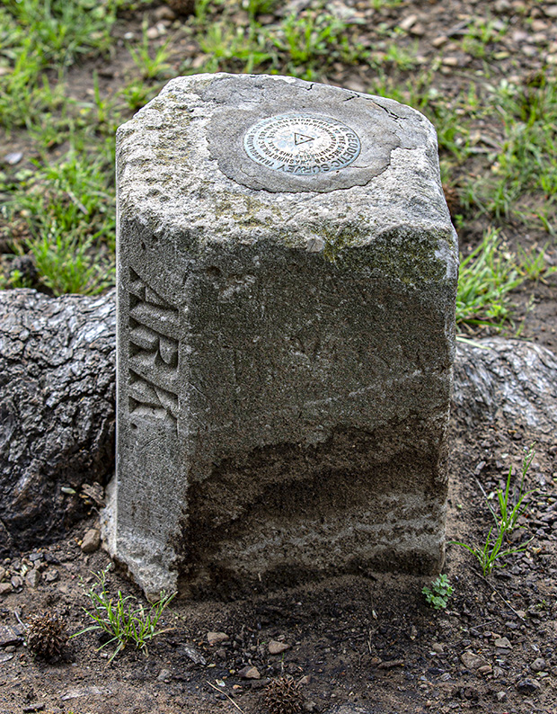
When I look at this tripoint marker, I am reminded of the loss of another friend a year-and-a-half before these pictures were taken, a very intelligent friend who influenced me and helped me in various ways but who revealed himself to be a force of injustice and classism.
I don’t really go into Arkansas here, but I soon would.
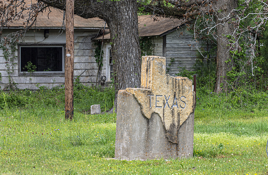
Though I would soon find my way into Arkansas, for now, the journey would take me through the part of Texas just north of the Arkansas-Mississippi-Louisiana tripoint.
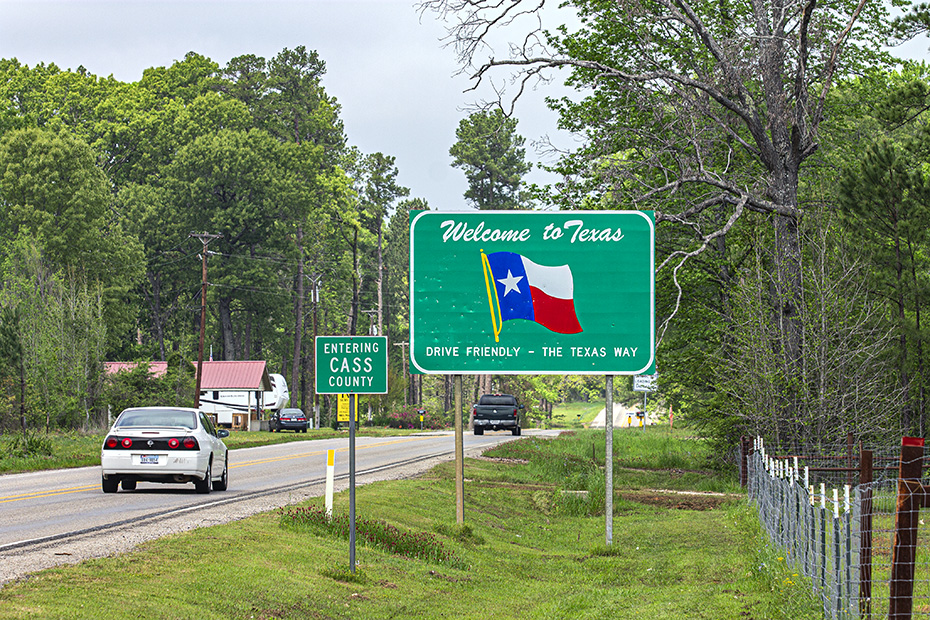
So, I left Louisiana for more than a week, the last time for at least a decade that I would be outside of Louisiana for that long.
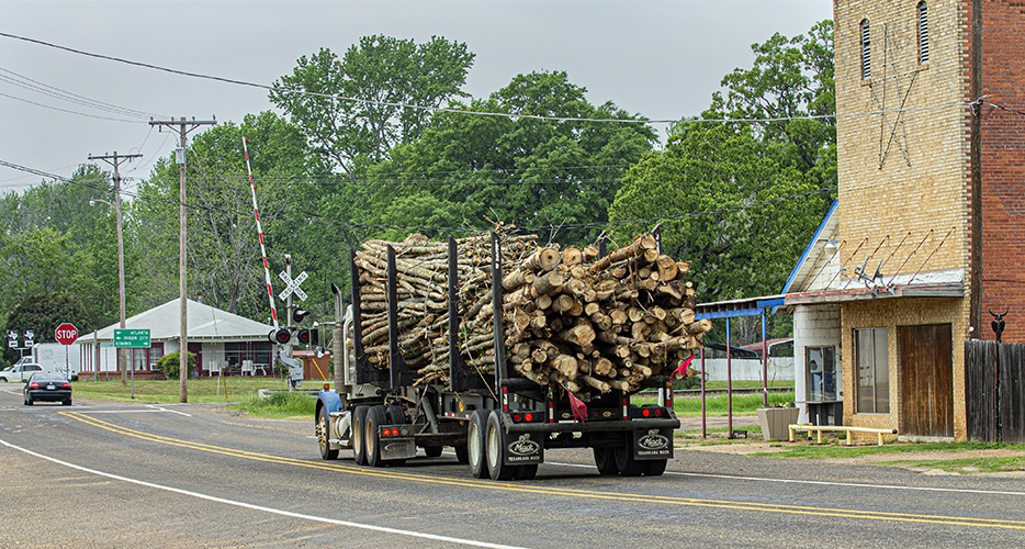
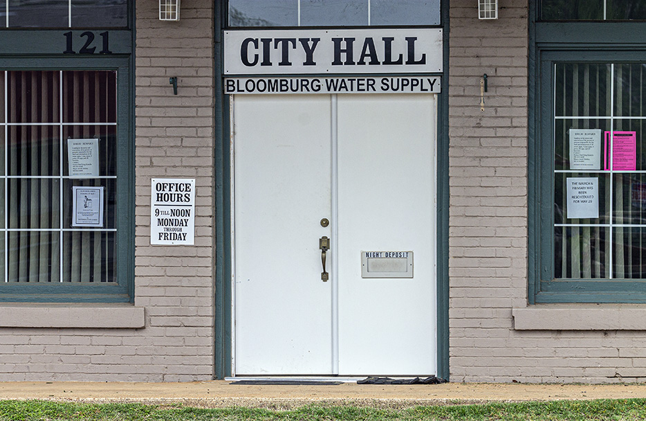
Here I am in Bloomburg, Texas.
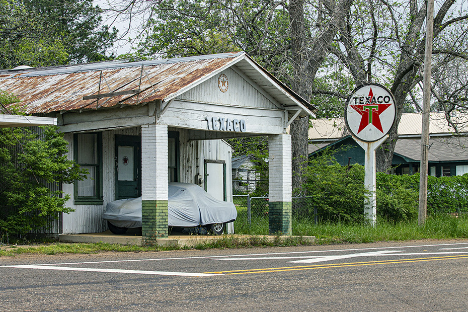
I like these old buildings, because I like old buildings.
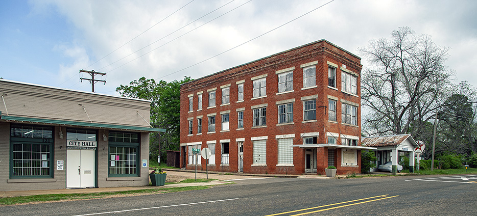
This trip, and I cannot remember if I entered Texas on the return trip southward nine days later, was the last time that entered the state of Texas until 15 June 2020.
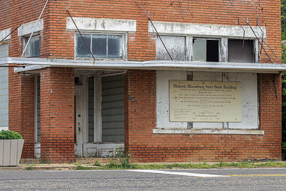
I like the quaintness of this city-hall facility.
Next, 31 minutes later, I am in Texarkana.
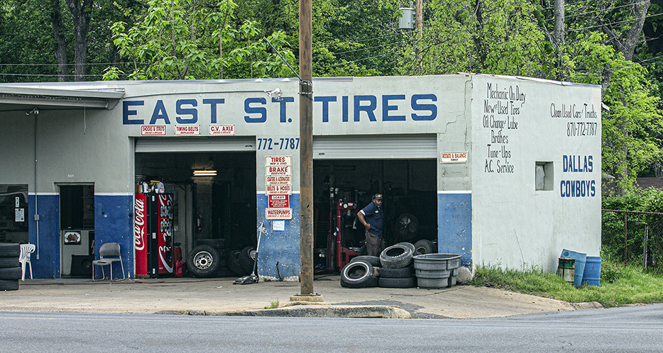
As their names imply, the Texarkanas are twin cities in Arkansas and Texas, respectively, bordering each other along a part of those states’ border.
Here is the Arkansas-Texas state line!
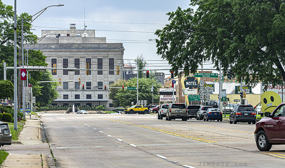
We’re in Arkansas in the above picture, but the border between the two states is right in the middle of that big street, aptly-named “State Line Avenue,” and that’s the Bi-State court building in the background.
The below two pictures were taken in both Texas and Arkansas as we look northward on State Line Avenue.
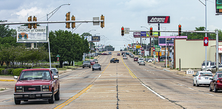
I guess since the shutter button is on the right side of the camera, maybe I “took the picture” in Arkansas, but, whatever.
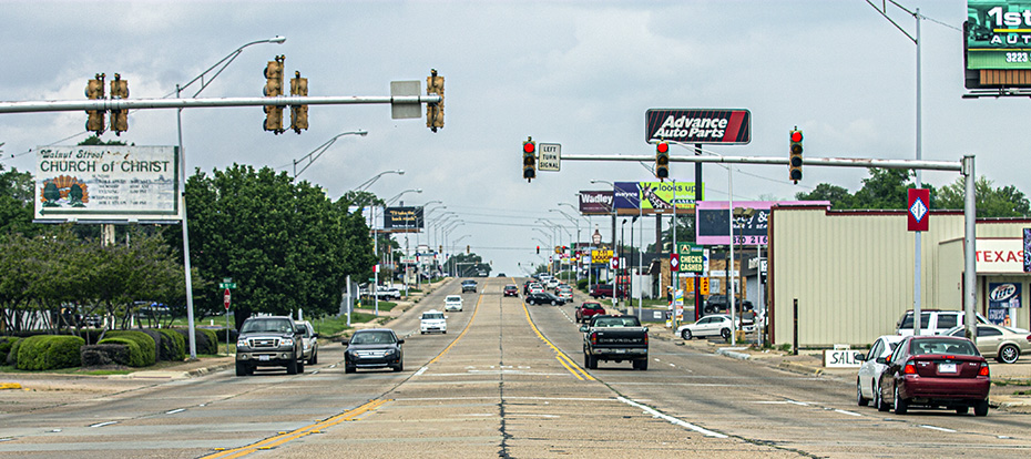
It’s not long before we are in the city of Ashdown, a place to which The Shadow Warrior introduced me in 2003, even if I may have passed through there on a family trip when I was a teenager.
The Kiamichi Railroad is an interesting shortline railroad using a former secondary mainline of the Frisco, but these blue lease things aren’t nearly as cool as the old home road power that was seen here in years past.
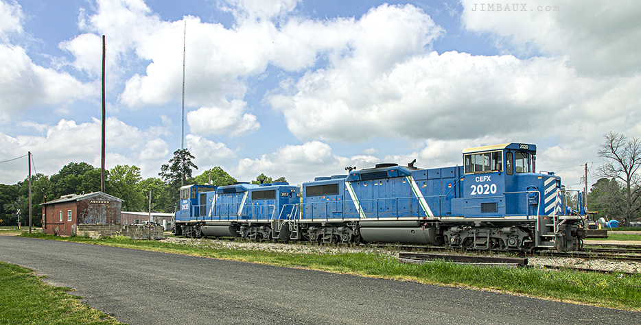
Okay, well, I recorded that.
Next, a while later and farther to the north, we stop to see this pastoral scene at Bellville.
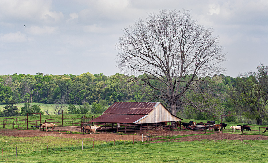
Here we are!
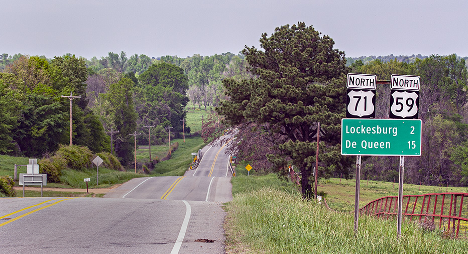
Next, 36 minutes later, I am at De Queen looking along the De Queen & Eastern Railroad toward its crossing of the KCS.
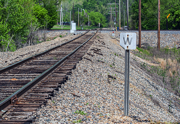
Radio chatter indicated that there was an H-train in town, but I couldn’t tell which one, the northbound or the southbound. A reconnaissance of the yard revealed the southbound H-train doing some work and preparing to leave.
So, that’s why I was set up here for a shot, which I eventually got even though the clouds rolled just a few seconds too soon.
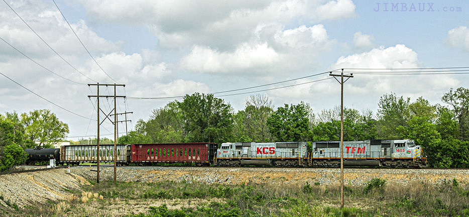
A camera records really ugly results when what you’re photographing is suddenly shaded while the sky in the background is still bright. I did the best that I could to rescue these shots in Photoshop, and I guess the results are okay.
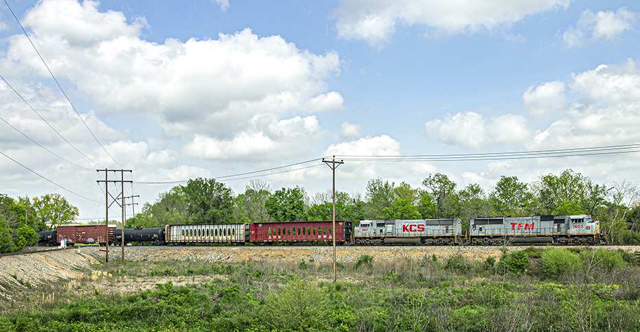
That’s okay. I like the grey SD70MACs.
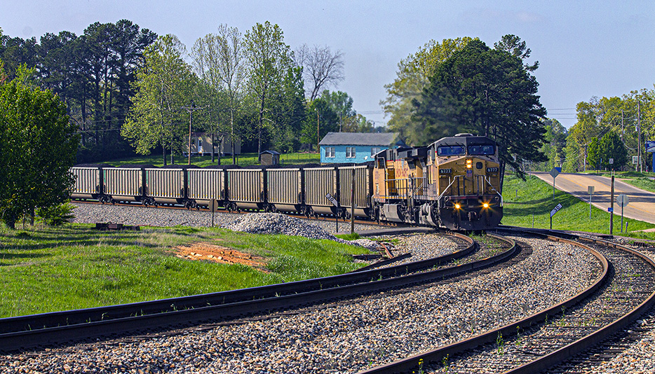
Next, I am at Wickes. I stopped to take a picture of an approaching southbound loaded coal train, and I took the ladder out of the rental sedan to get some elevation. Yes, I was in a rental Chevrolet HHR because my truck had a broken transmission, and I just could not postpone this trip and didn’t want to cancel it.
Anyway, since the back hatch is open, let’s have a look at the contents of this rental automobile so that we can see what Jimbaux brings along to travel.
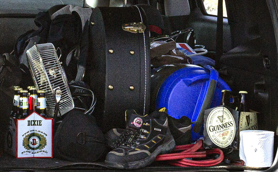
I was well-prepared. Some of those beverages were to be shared and consumed with friends at whose houses I would stay.
Okay, so, here is where I made a really dumb mistake that could have been very costly.
Normally, I really don’t care that much if you like my pictures, but, in this case, I actually got injured in the process of taking – or, rather, composing – this picture. I had set up a four-foot ladder between the track and the road, and as the train was coming with horns being blown nearby, I rather foolishly decided to try standing on the very top of the ladder. Not smart, Jimbaux.
Normally, I’m like a cat, with very good balance, having climbed plenty of trees in my younger days and doing construction work on 25′ scaffolds, but this time, probably due to the fact that the ladder wasn’t level (was probably at almost a 10° angle), I fell off, and not only did I fall, but I fell with all of the force one would expect from that height. Not only that, but I couldn’t even find a way to cradle the camera gear, as I often successfully do when I fall. (There are right ways and wrong ways to fall.)
This time, the camera and big lens, a hat, and Jimbaux all hit the jagged gravel between the track and the highway. I think I fell on my back, but there’s a small gash on my right palm which bled for a little while.
The horns were getting louder, and once I determined that I was not severely injured, I quickly grabbed the camera, got back on the ladder, didn’t go to the top rung, and popped off this shot of this southbound loaded KCS coal train from the UP (probably the C-KCWE) at Wickes.
After the shot, I went back down to get my hat, then put away the ladder, got back in the vehicle, and pressed on northward, then westward.
I admit that it’s not a great shot, but I hope that you enjoy it and can somehow be inspired by the fact that Jimbaux really goofed but has survived to foam another day!
Here we are in Cove, where I would take a few pictures of the old town well before I diverged from the traditional route that the KCS follows.
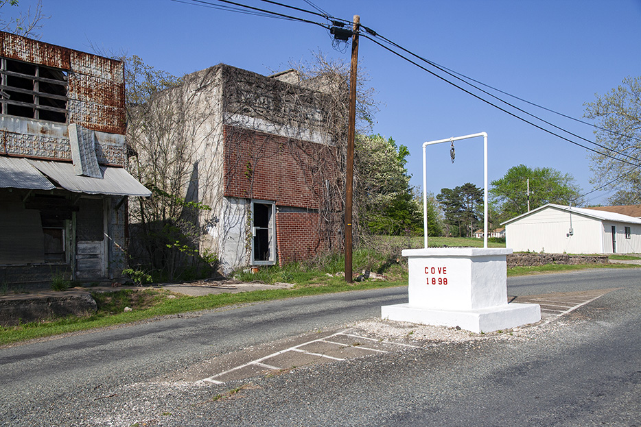
I think that the brevity of the village’s name adds to its mythos.

At this point, I could have followed the traditional route of US Highway 59 all the way to Heavener, Oklahoma, my destination for the night, and that route would have had me following the KCS mainline, but I decided at some point to not do that, to make a diversion that would put me back to Highway 59 and the KCS at around Page.
What I did, however, was take Highway 4 westward around the backside of the mountain.
Here is one view northward from the path, just into Oklahoma, the first picture from Oklahoma from this trip.
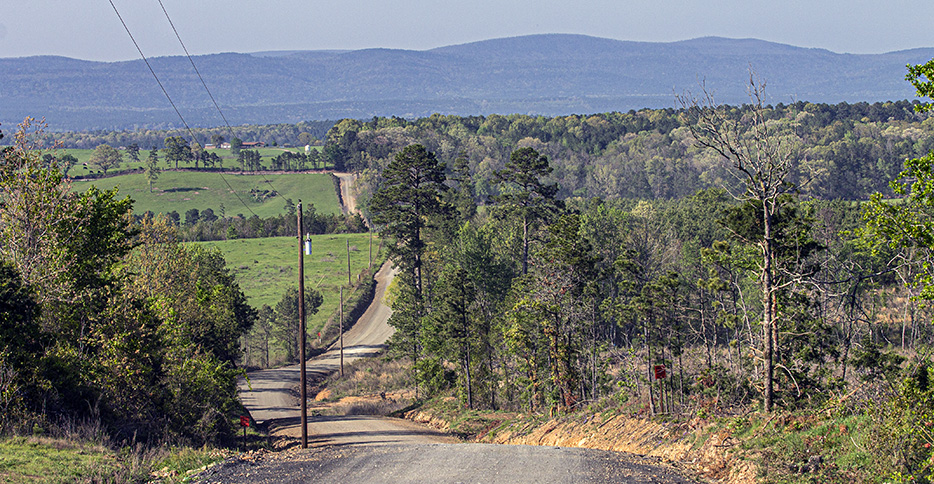
By taking this shortcut, I gave up seeing Hatfield, Potter, Mena, and Rich Mountain and all of the railroad scenes that I could see in those places. What you get out of this shortcut, however, besides a trip that takes less time, is some really intense recreational driving!
It’s really difficult to get photographs that demonstrate how intense this experience is, and that’s a function of its intensity!
After I got back to Highway 59, I went to check out Page, which actually requires you to backtrack on Highway 59 about three miles.
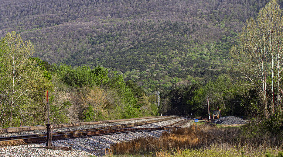
I wasn’t going to wait for a train there. I have no memory of what happened next, and I can’t find my notes.
Next, I was in Heavener.
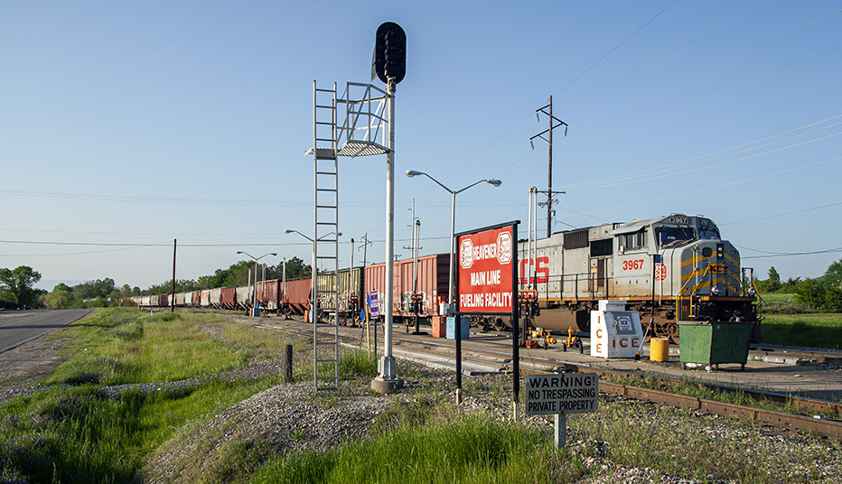
By this time, these grey SD70MACs that I like were becoming “old power.”
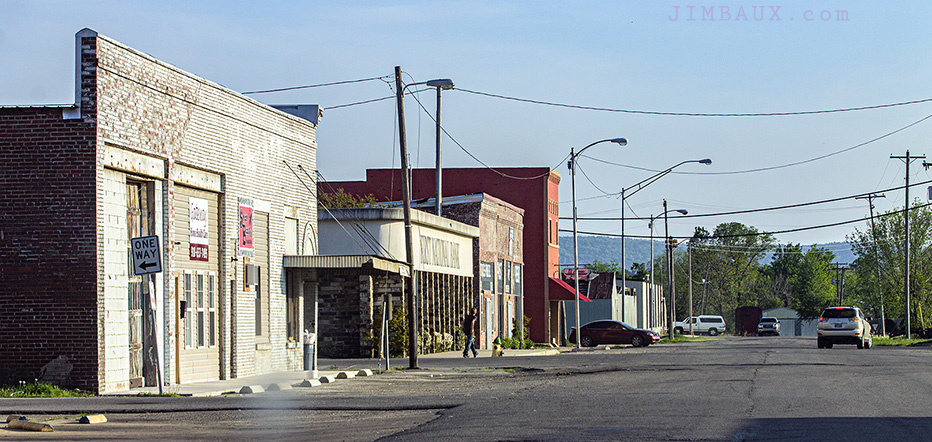
On this trip, I decided to do something that I hadn’t done much before, which is record non-railroad scenes of Heavener.
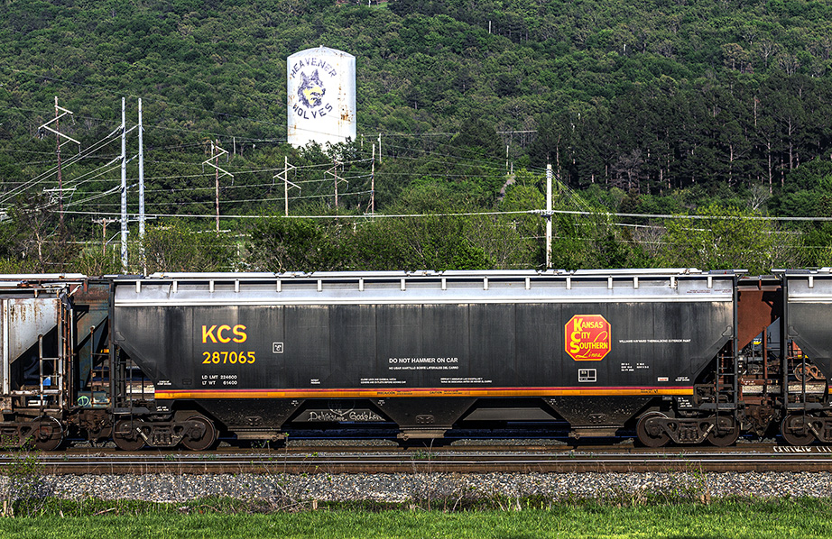
Here is one of the newer KCS hopper cars.
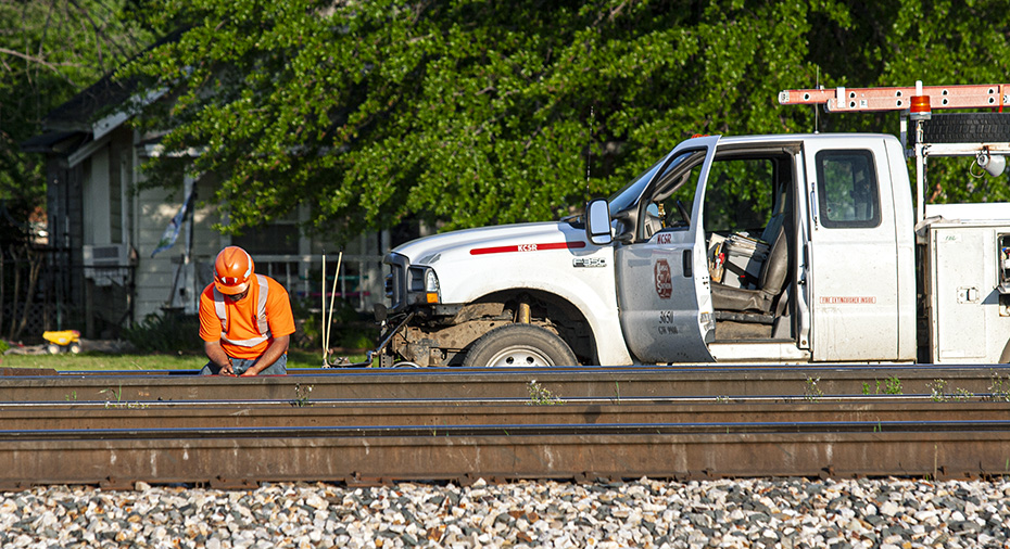
Here is some track work being done.
I guess that that is the power for the Fort Smith Dodger.
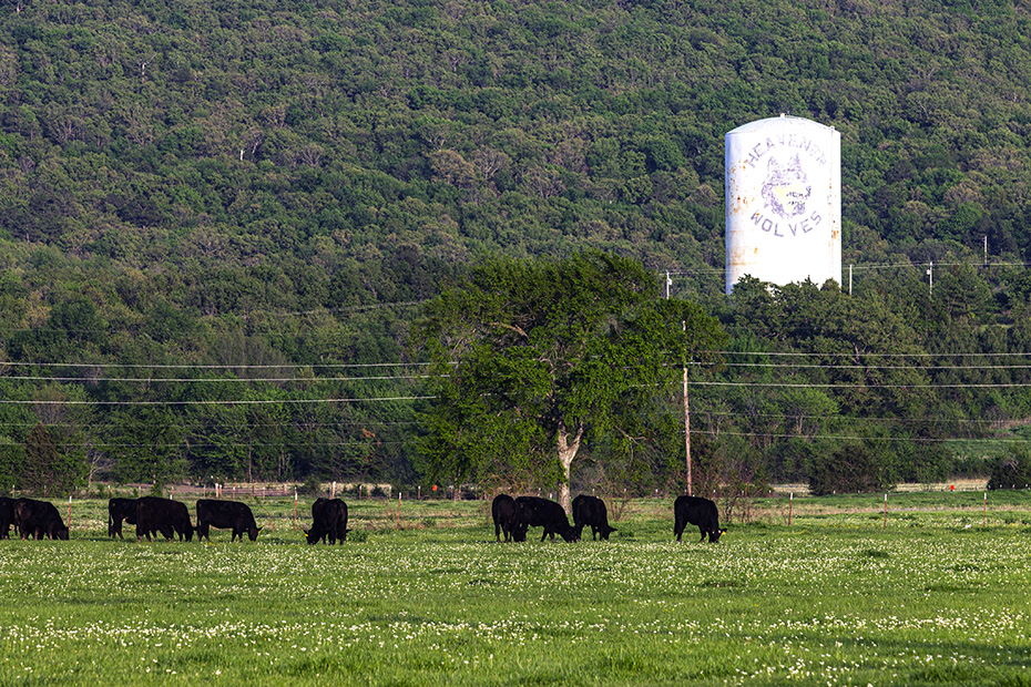
Hey, look at the cows!
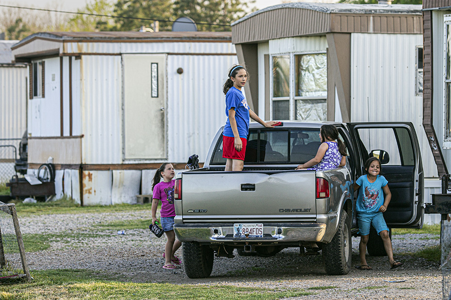
Some children were at play in this little neighborhood of mostly mobile homes east of the yard.
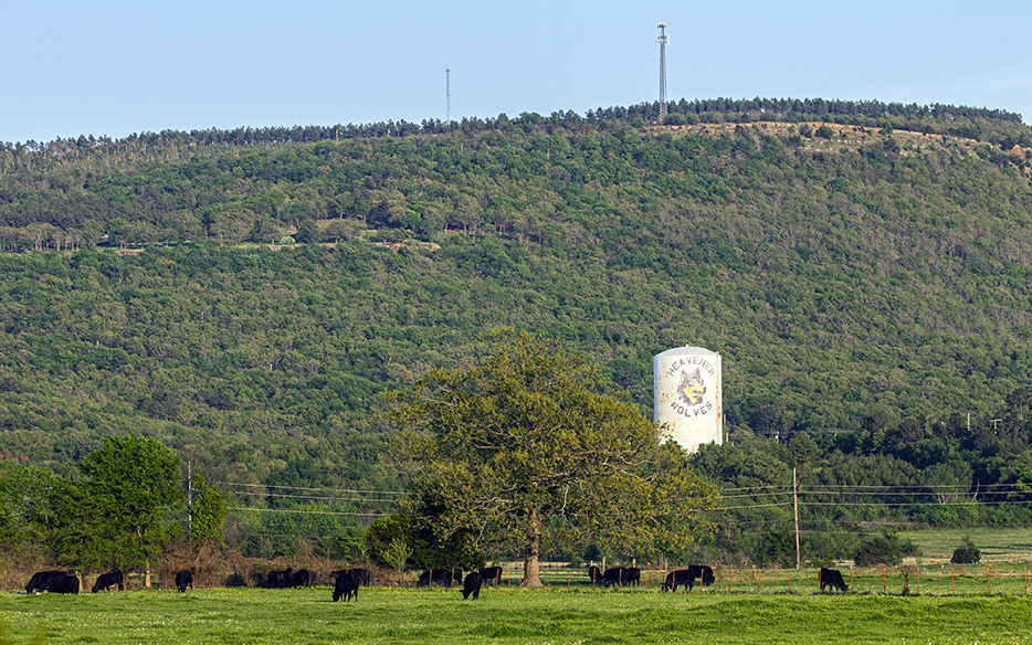
Okay, yes, maybe we can get the cows, the water tank, and sky (and the top of the hill) all in one shot.
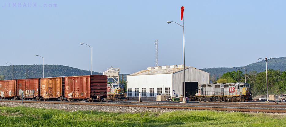
Now, I return to the fuel rack.
Here’s the view of the water tank and the Southern Belle restaurant – named for the passenger train that KCS ran from Kansas City to New Orleans until November 1969 – from the hotel.
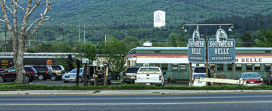
Nope. I didn’t eat there, not this time.
After a long Day 1 of the journey, it was time to head to Poteau to go eat at Braum’s! On the way there, we grab one last picture.
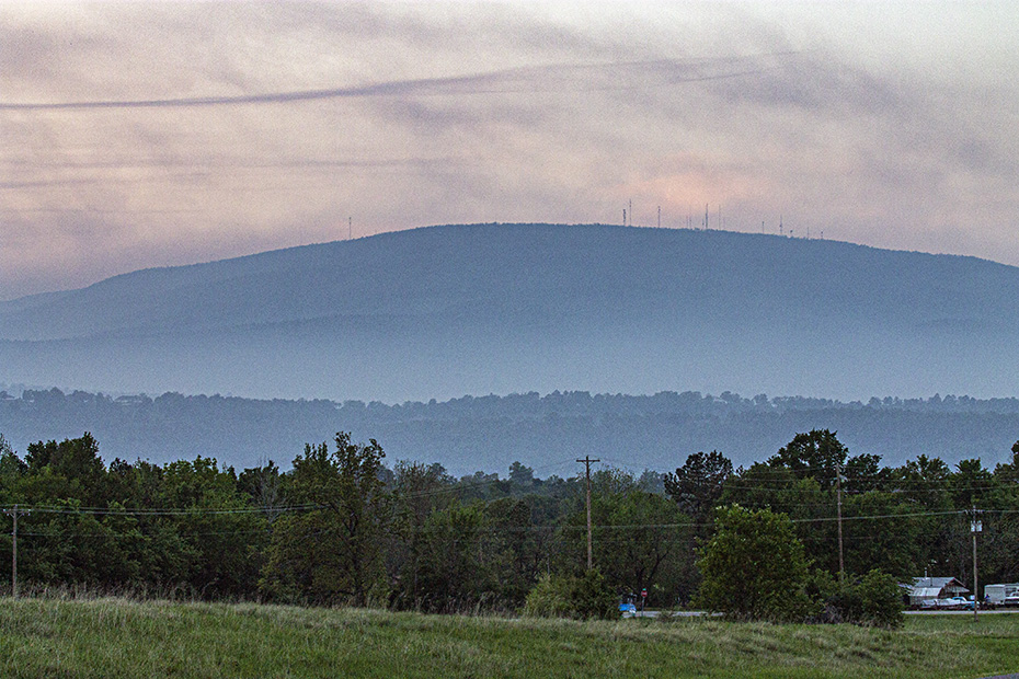
Yep, we’re not in southern Louisiana anymore.
I hope that you have been simultaneously educated and entertained by the photographic fruit of Day 1 of Jimbaux’s 2012 road trip up the corridor of the Texas-Louisiana, Oklahoma-Arkansas, Kansas-Missouri, Nebraska-Iowa borders, or, put another way, I hope that you can be vicariously educated and entertained by the photos that I took in the process of being so educated (even though I had been to most of these places several times before) and entertained.
If you have a question or have some information to offer, please use the comments section below.
Merci.
Jimbaux
