[Jimbaux wishes you were here.]
Wow, I’m so thrilled to see a comment from Heath in the previous post! I miss him from our days together at The Crucible, but it now occurs to me that other places in my life have taken the role of The Crucible, and in some very good ways.
A Provident Sunday Sermon
The Last Day, The Last Time
I have no memory of the banquet at the KCSHS convention – the last one that I would attend (for at least five years, anyway) – the night before. Really, right now, as I type this, I really don’t have time to make this post, but instead of coming back later – or never – to make this post, I wanted the continuity of this three-day trip to be matched in the continuity of its presentation years later. So, despite the fact that I don’t have the time to do this, I’ll type and post this chronological conclusion to this three-day trip right after you’ve see the prior two posts.
Yes, it was Sunday morning, and, yes, it was quite provident in many ways that you shall soon see. My route to Monroe two days before had me leaving New Orleans on I-10 and stopping for pictures at the Bonnet Carré Spillway and then for food at LaPlace before getting back on I-10 for Baton Rouge. I don’t remember what route I took after leaving from Baton Rouge, but it probably wasn’t the old highways. I likely picked up I-49 at either Lafayette or, more likely, Opelousas (via US Highway 190), and then arrived in Alexandria to take US Highway 165 north to Monroe, of which I don’t remember much either.
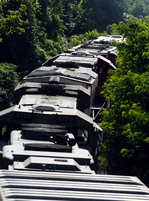
Going Around In A Big Circle
Anyway, the point of stating my route to Monroe was that I was going to take a completely different way back to the New Orleans area. I was going to go east into Mississippi – visiting some more theretofore unexplored (by me) areas – and then take I-55 south, rejoining my outbound route in LaPlace, only about 25 miles from New Orleans, basically creating a big circle.
I don’t recall any conversations with foamers that morning, and I can’t even remember if The Stroe Man and I shared a room for this trip, though I would see him later that summer at his home in Missouri. I just checked out of the hotel and went west before heading east. That may seem bizarre, but remember the foamer credo of heading west in the morning in the hopes of scooping eastbound trains in the early-morning light.
No Trains
Well, I didn’t find a train, but the adventure did afford me the opportunity to briefly visit the campus of Grambling State University.
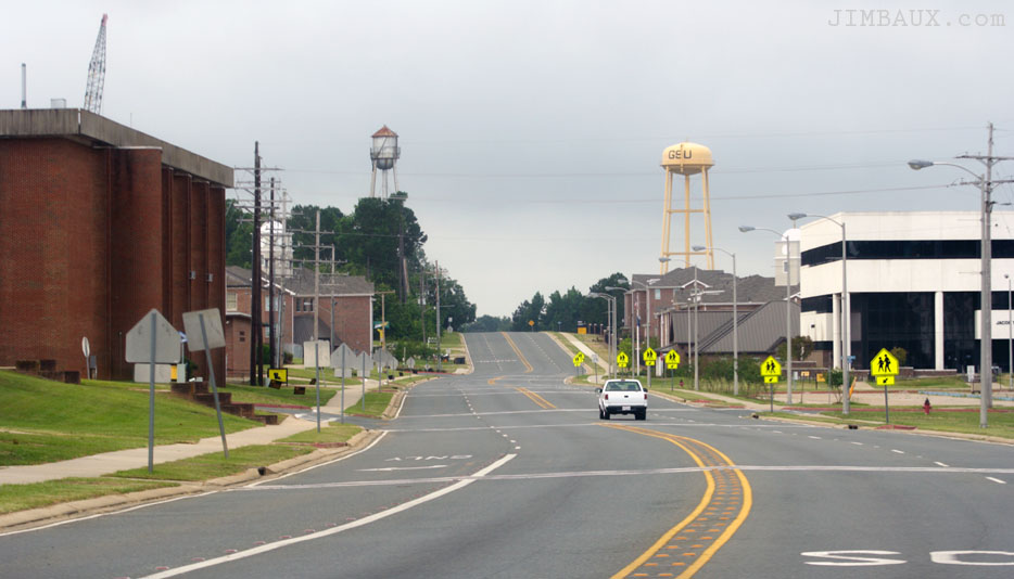
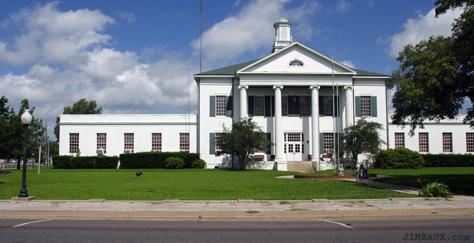
This is probably where I turned around and headed back eastward, since two-and-a-half hours later, I was in Tallulah.
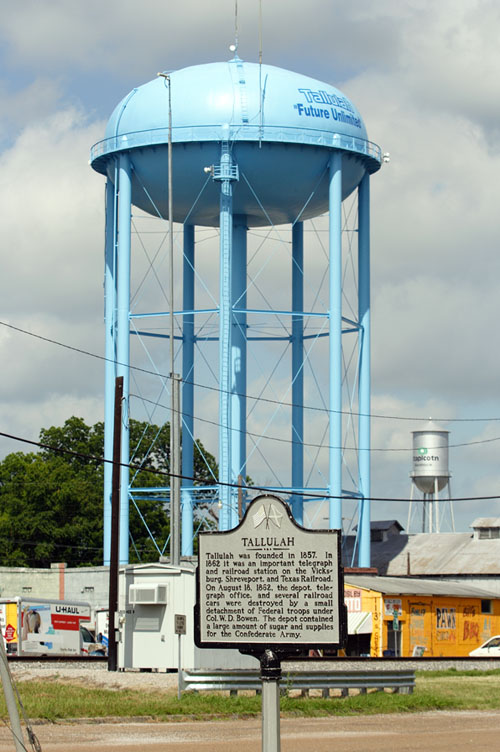
There are not any trains here either, but at least we can photograph city hall.
Then, it was time to make a diversion.
The Lake Providence Side Trip
Before heading eastward into Mississippi, I decided to break off northward for a side trip to a place to which I had obviously never been – remember as stated in the on the way post that this was my first time in the northeastern part of my home state – but that had still intrigued me since childhood. One of the parents of a childhood friend is from Lake Providence, and I knew that there was a neat little railroad line that went there. The geography and history of the place intrigues me too. The town is named after an oxbow lake of the same name right in the northeastern corner of my home state.
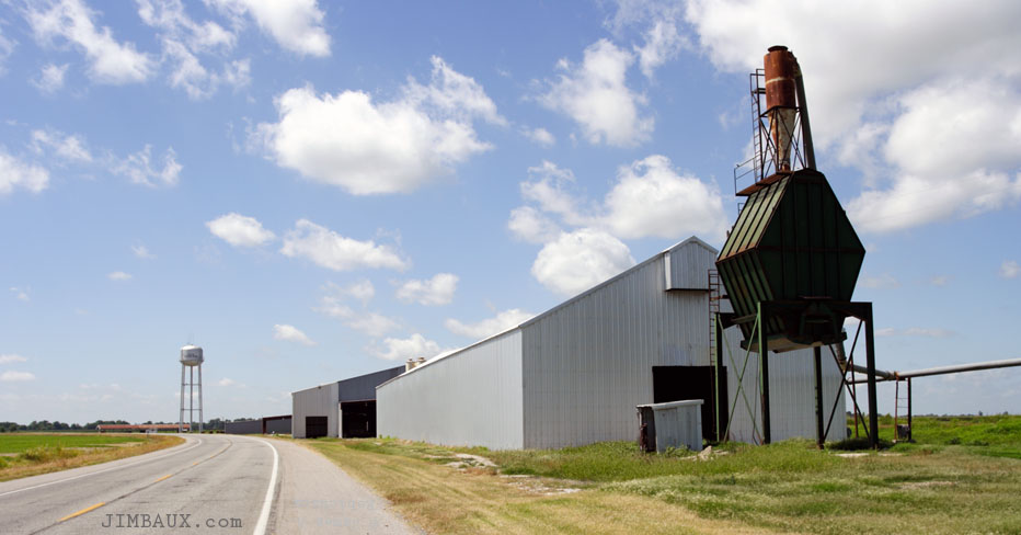
On our way northward, we stop briefly to photograph this old elevator in Hollybrook.
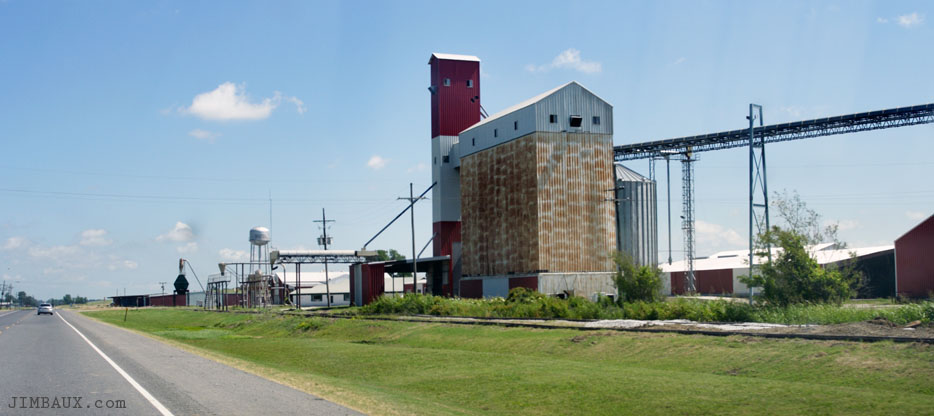
The railroad line seems to be in place to this point, but that would not be the case further north in Lake Providence. Someone who knows of this railroad line please tell us in the comments section about it. Thank you.
I drove through Lake Providence itself and then found this interesting industry rising to the sky among open fields right next to the highway.
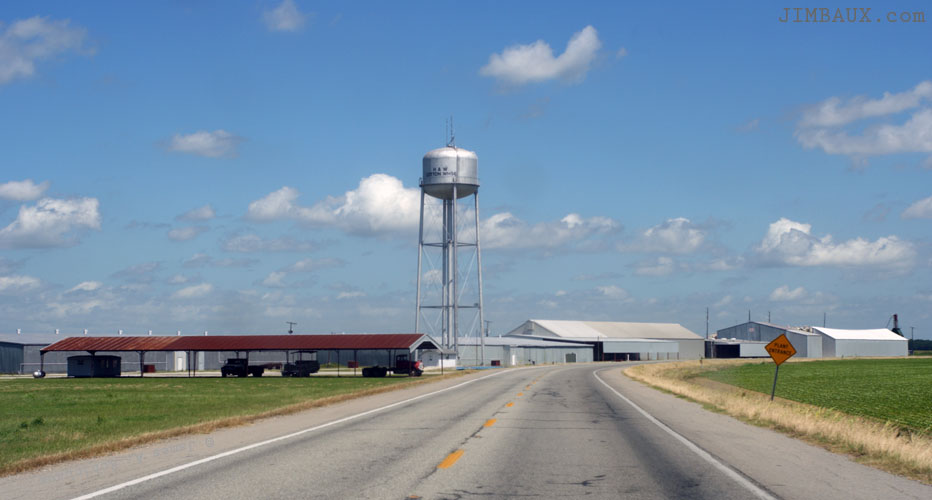
The song “Cotton Fields” by Credence Clearwater Revival comes to mind here, but that may ‘offend’ some readers from the area. I don’t know. I just found this to be really interesting.
Isn’t that neat? Here are some soybeans for you, or are these cotton plants? I don’t know, but I should know, and so should you.
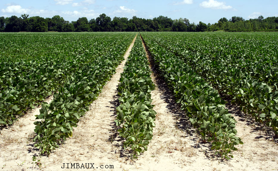
Yes, if you wear or use anything with cotton, you can thank these plants and the people who plant them and work the fields for that.
Here is an image of the lake itself.
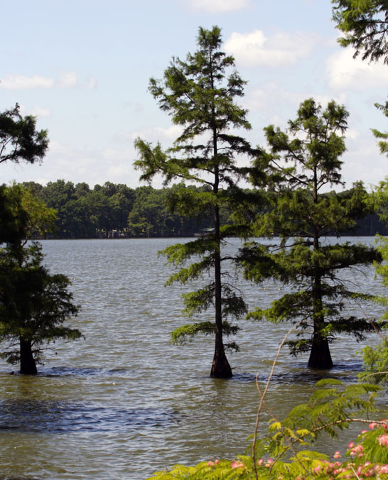
As an oxbow lake, what you see above was once the Mississippi River.
It looks like corn is being grown among the cotton; is this a relatively recent development?
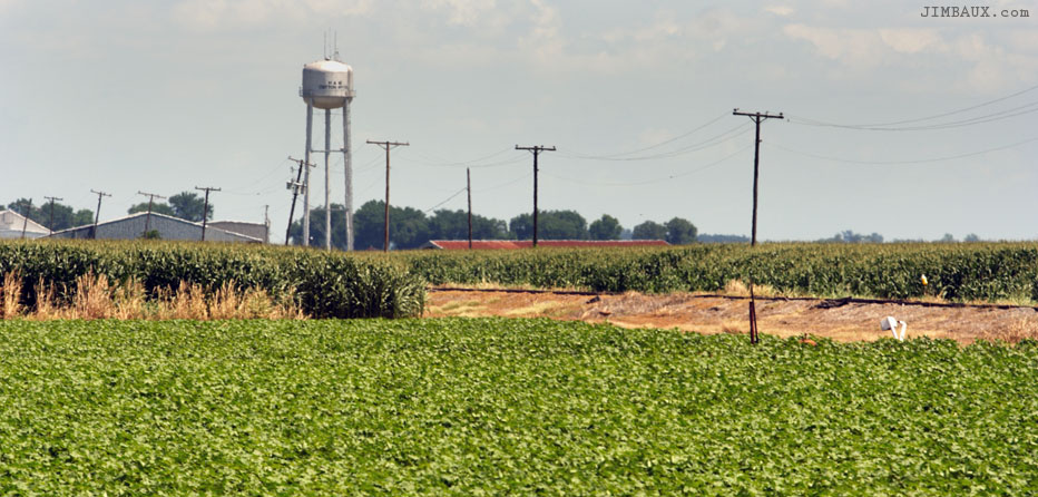
Was corn grown like this around here 50 years before?
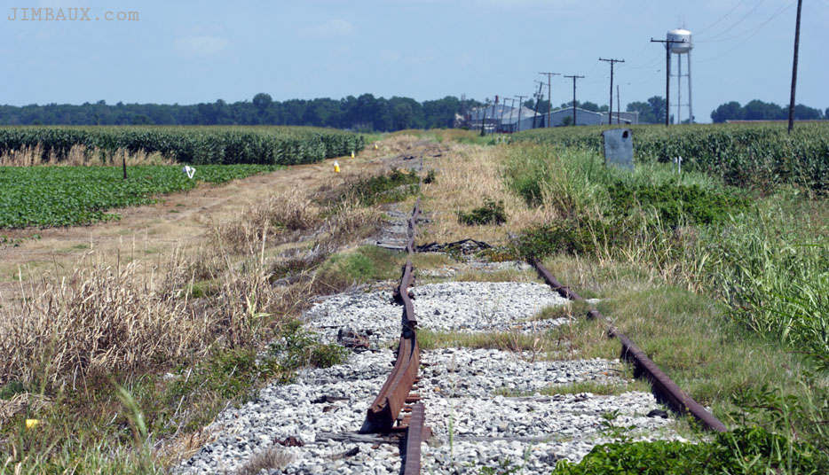
When did the last train come here?
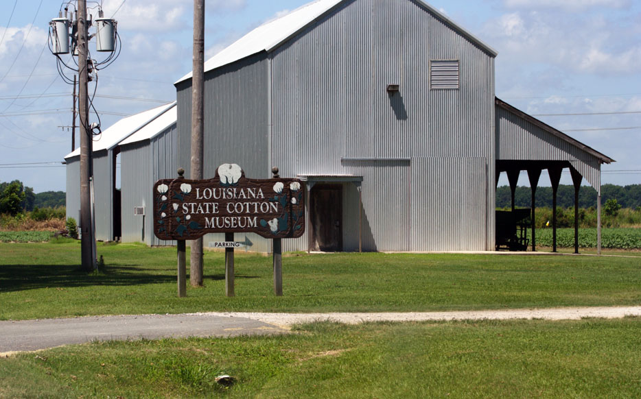
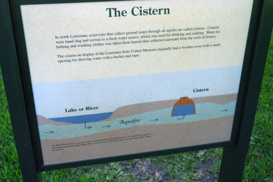
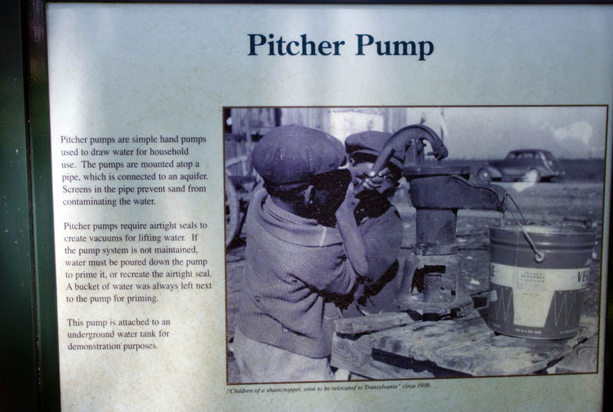
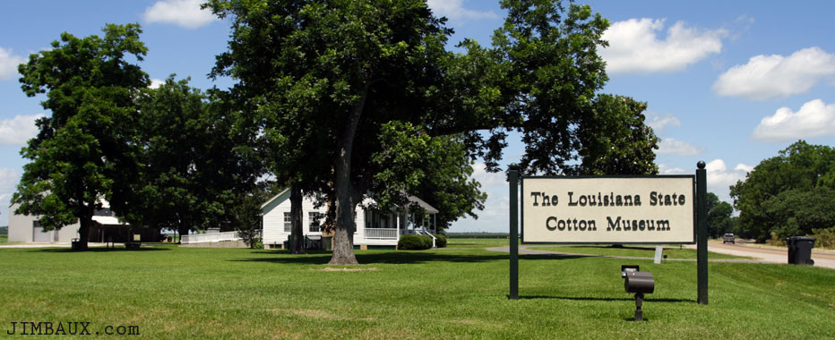
The Louisiana State Cotton Museum
Next, I paid a visit to the Louisiana State Cotton Museum, and I was the only person there; so, I could only walk around and see the outdoor displays.
Hay!
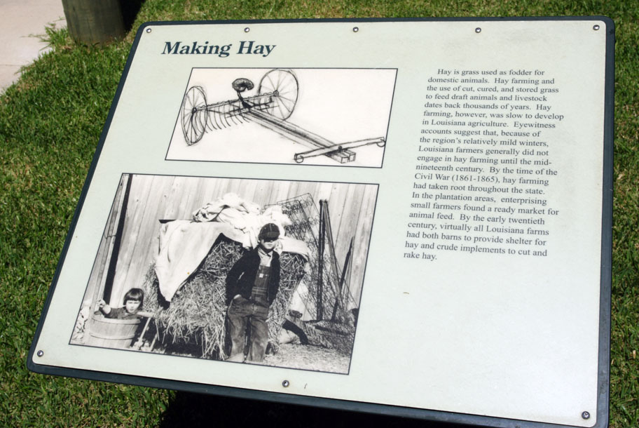
I hope that you can read all of what is written there; I don’t necessarily hope that you do read, only that you can read it if you so chose to exercise the option.

Here I am using the pump.
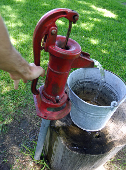
That’s the best photograph I cared to get using one hand to take the picture and the other to pump the water.
Well, I enjoyed my brief visit to the museum.
I hope that you enjoyed – and perhaps learned from – my visit to the museum too.
Now, though, it’s time to head back south to Tallulah and then head east out of Louisiana and into Mississippi, continuing to explore areas I have never visited.
Mississippi
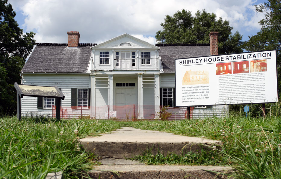
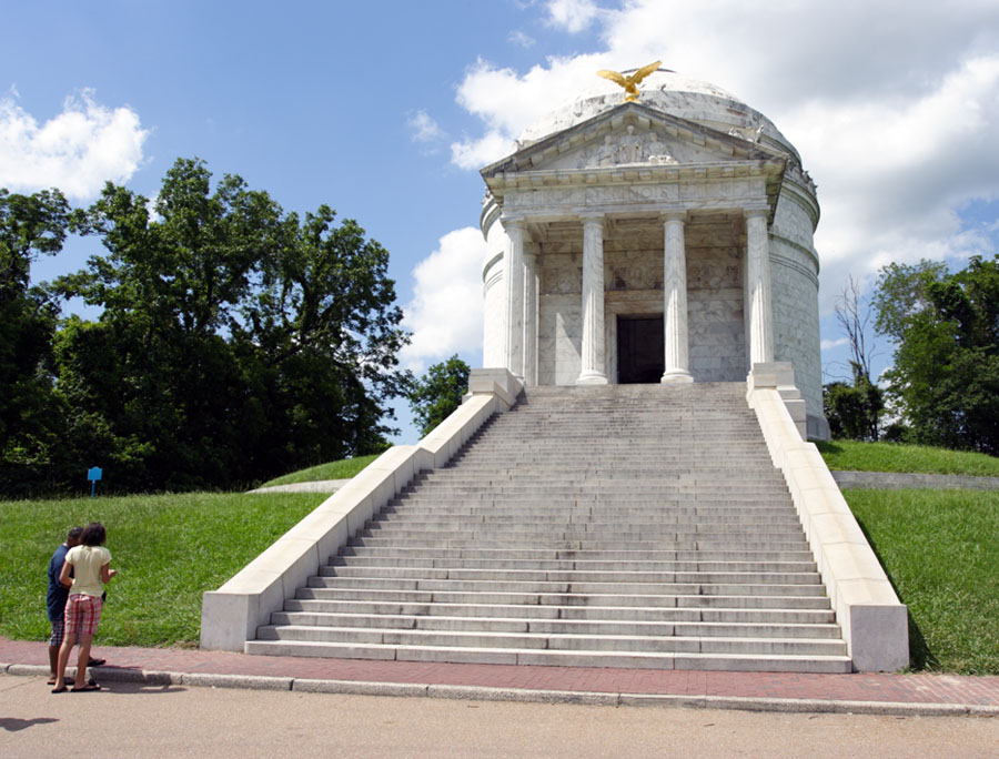
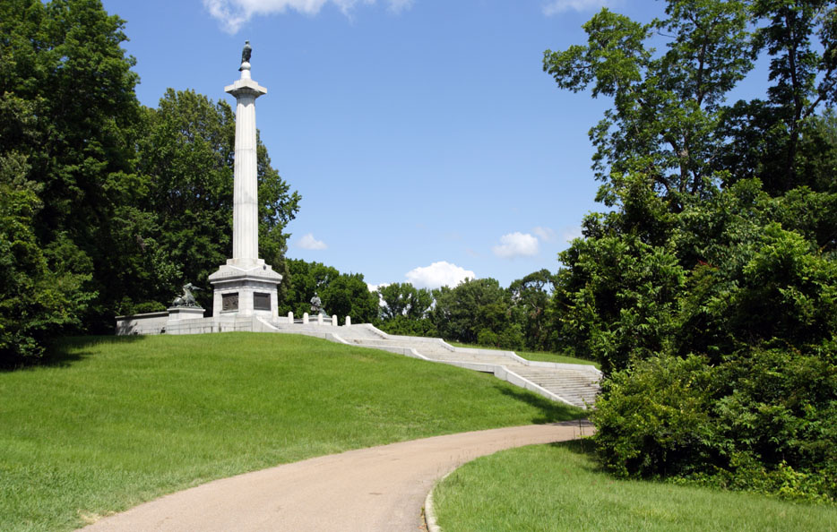
Vicksburg
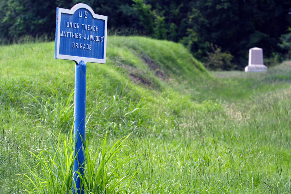
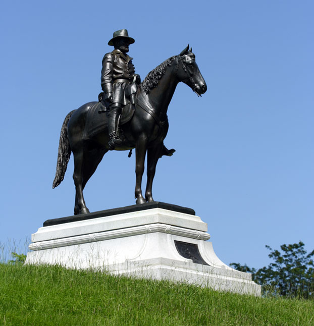
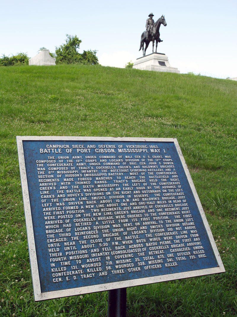
I paid a visit to Vicksburg National Military Park. This is the battery of Union captain Samuel de Golyer.
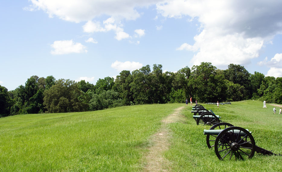
It was hot out here. So, I didn’t want to spend too much time walking around. However, I then remembered that the ‘battle’ that took place here – or, perhaps more specifically, a seige – took place in July; there was no air-conditioning then, not even electrical fans, and the soldiers wore wool. I would have died.
The railroad photographers in the crowd will note that, like with my foray to Lake Providence, I’m using “high sun” time here to be away from the tracks. Yes, you’ll see some trains soon. First, though, let’s see more of the park.
This isn’t much more than three hours from New Orleans, but it’s a bit weird that this is the only time that I’ve been to this quite historic place.
Furthermore, as a person who is a “fan” of the Kansas City Southern Railway and even a stockholder, a believer in the KCS story of the last few decades, Mike Haverty and his boys knew what Abraham Lincoln knew, that “Vicksburg is the key.”
As many of you know, it has been quite a lovely and valuable key, diverting railroad traffic that had previously gone through New Orleans and Memphis, and creating avenues for new traffic, especially from Mexico (and you’ve probably seen my pictures from on the KCSdeMéxico in 2006 and 2007), positively affecting the fortunes of customers, employees, and stockholders alike.
How is this for a use of telephoto and wide-angle (the shot immediately above and the shot immediately below) from the same location?
Next, we see the view from the bluff at Vicksburg, the bluff that helped make it a “key.”
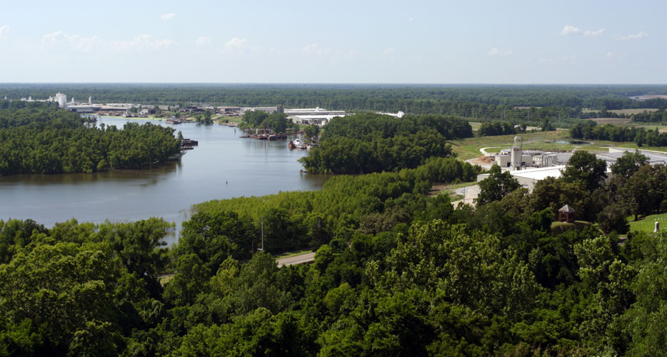
Trains climbing the Mississippi River bridge – no, sorry, I don’t have any pictures of the bridge, but you can see some in the Vicksburg pictures on railpictures.net, including a few gems (see the second page of pictures) from longtime Jimbaux’s Journal reader and great Mississippi railroad photographer Chris White – from the Louisiana side still have plenty of climbing to do once they reach land on the Mississippi side!
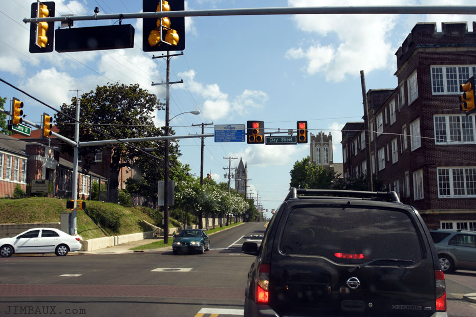
Here is a shot from driving around downtown.
I didn’t have time to stick around. The light was getting good, and I needed to head east to intercept some westbound trains (if there were any) and find shots of them (ideally before I found the trains themselves.)
Vicksburg To Jackson
Somewhere, I found this bridge.
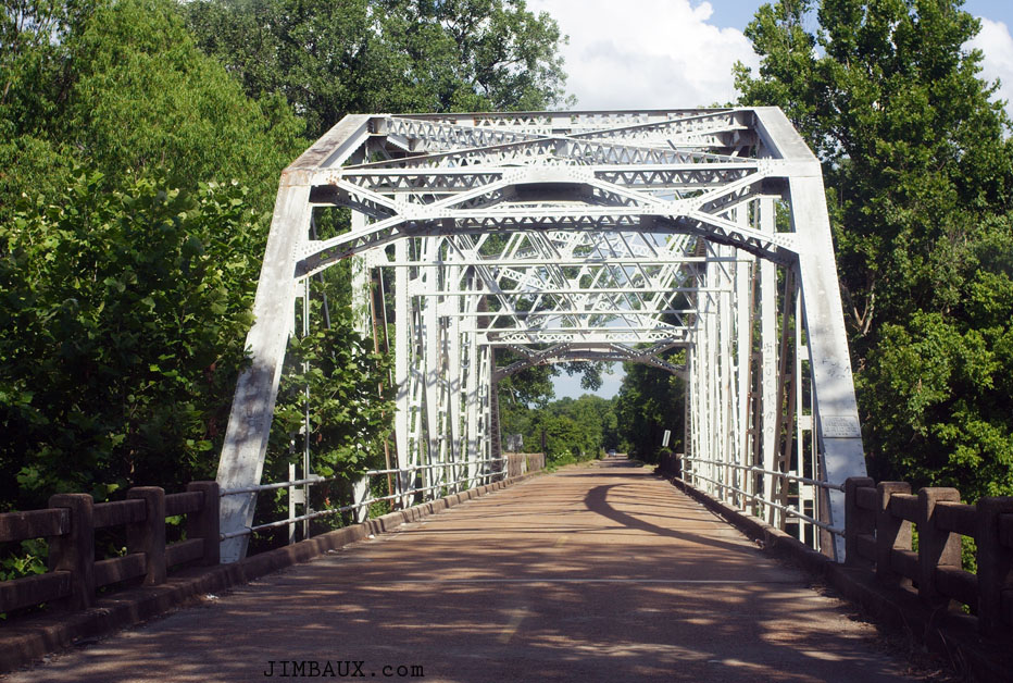
I’m sorry that my notes weren’t good enough to record where that was, but maybe some of you in that area can help with its identification.
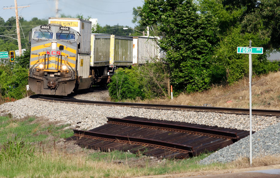
It’s train time! Here is the MNSSH blasting through Newmans Grove.
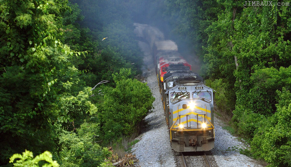
Yeah, there is too much haze to see much of the train here. Oh, well.
I guess that’s okay for being my first time here.
Meh. Let’s move on. Oh, here’s something interesting.
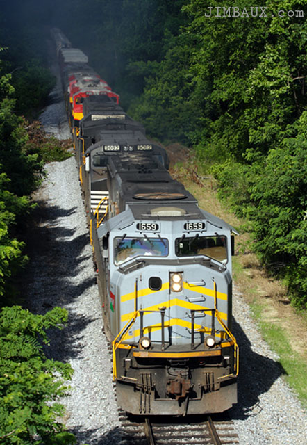
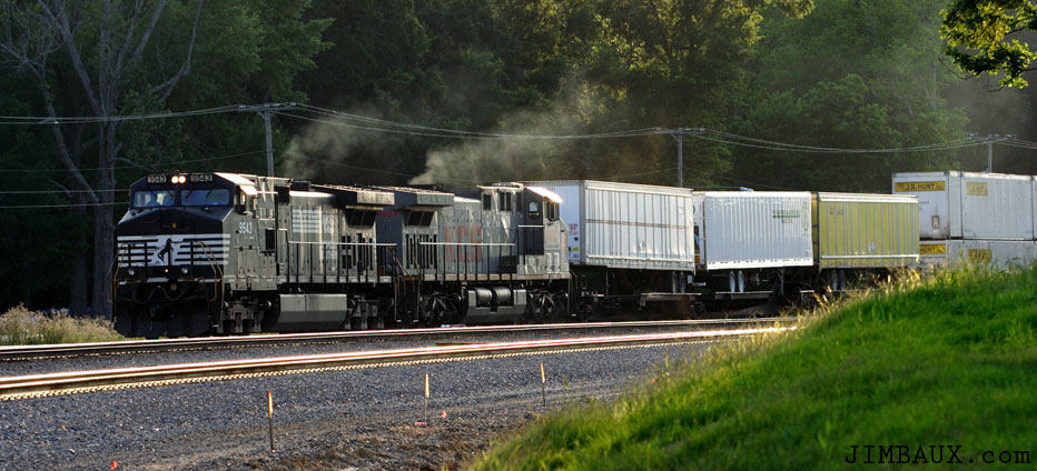
Okay, so, we are here either in Clinton or Jackson, though the photo is labeled Clinton, and we see a stack train.
No, I don’t like it either.
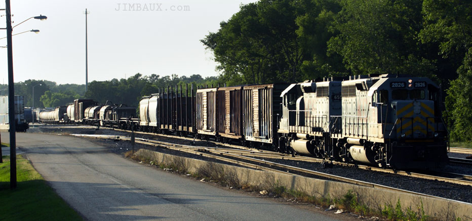
KCS High Oak Yard
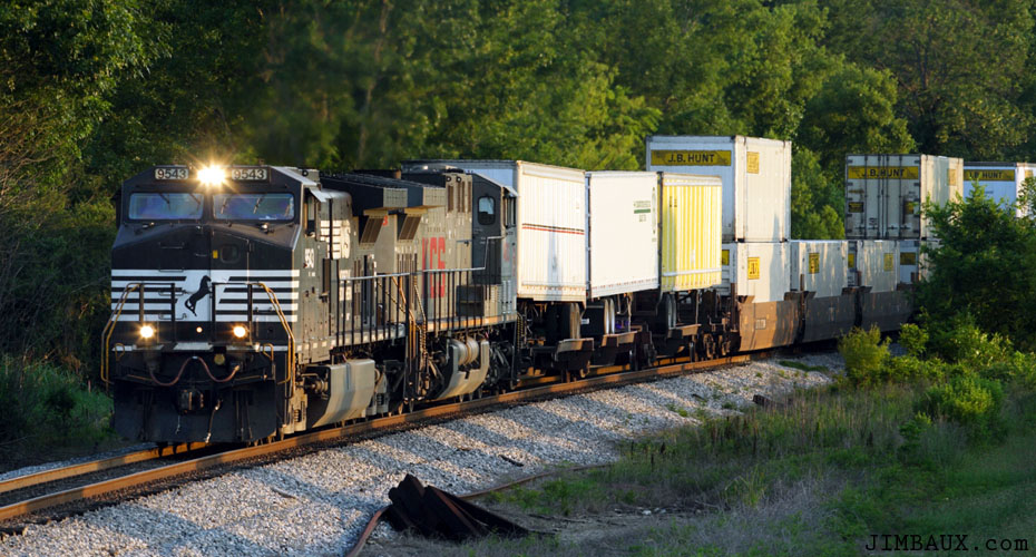
We’re now southeast of Jackson – where Jimbaux finally re-entered territory that he had already visited, for the first time seven months before – in the community of Pearl at KCS’s High Oak Yard. Here, we see a trimmer job or a local working the eastern end of the yard.
The I-DAAT (Intermodal – Dallas to Atlanta) was leaving. So, let me get a shot of him and then chase him eastward a bit.
Yes, and now it is time to chase him east to places that Jimbaux had not only visited the previous November for the first time ever but also to places that he and The Duke visited in December, less than two months later. No, I didn’t make it to Pelahatchie this time.
A Brief Chase
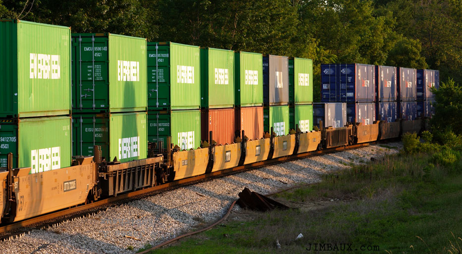
So, I made it almost to Greenfield for this shot that I knew existed from my initial visit here the previous November.
I guess that’s okay, but it’s not nearly as good as the shot I did here in November. Here are some of the containers.
Okay, the sun is almost set. Let’s go back west toward High Oak Yard so that we can then turn south on I-55 to go home.
Back At The Yard With a Tad Bit Of Light Left
The MARSH (Manifest – Artesia to Shreveport) was doing some work on the western end of the yard.
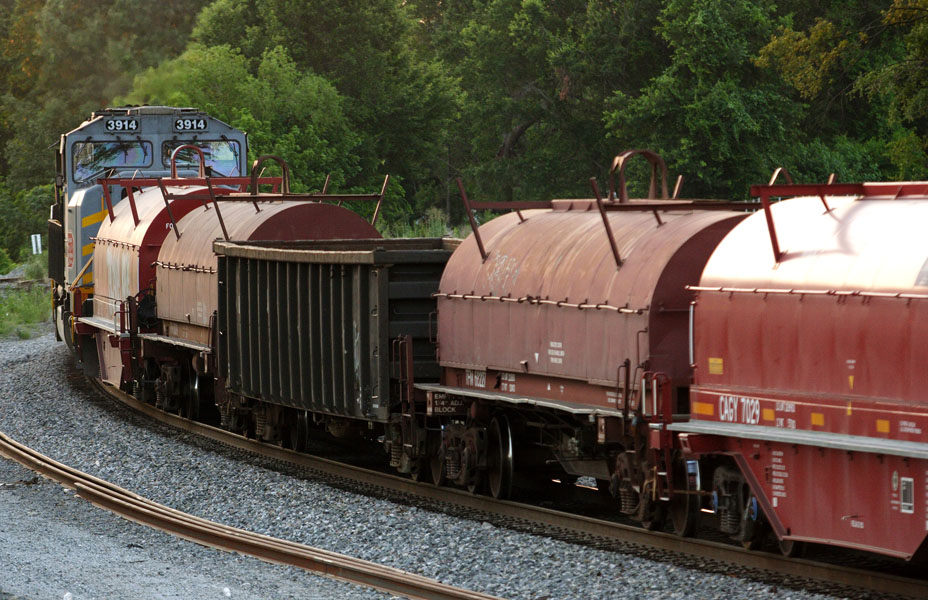
That’s really enough of that. I probably went to eat at Whataburger right after this, as per my young and somewhat stupid traditions.
The End
Well, that was a productive if brief trip, right? I thought so. What have we learned?
I would be back through some of these same areas on the beginning out the northbound leg and the end of the southbound leg of my Great Northward Pilgrimage of 2008, and not long after that, a natural disaster (the kind that you can probably guess easily) had me in this area yet again. Hopefully, we will see some of that soon here on Jimbaux’s Journal, though as time-consuming as some of these entries are, and as much else as I have to do, I wouldn’t count on it. For the amount of money that you’re paying me to do this, you really can’t complain! Anyway, I hope that you enjoyed this.
Jimbaux
{ 9 comments… read them below or add one }
What you were looking at in Lake Providence is the Delta Southern RR. If I remember correctly its what’s left of a MOP Branch from Pine Bluff down to Vidalia. The offices used to be north of town in Shelburn. They have since scrapped an old caboose they had at that site. I want to say they only have a couple of industries in Lake Providence and do some on-line storage. Last time I was through there, they had plastics hoppers stored from Tallulah North. Motive power was CF7’s, some of them looking in pretty bad shape.
JR:
When I passed thru there in 1996, like Shannon Altazan posted above; the office was at Shelburn and the trains ran no further north
than Shelburn. There were cars spotted at all the place along the line to Shelburn. When I passed again in September 2012, no trains
were going past the Port of Madison Parish, which is just north of Tallulah. Don’t know when the last train was north of the port.
From the north end of the line out of Magee,Arkansas; UP has a yard at Magee and the line goes a few miles south of Magee. Don’t
know how far. The line is still intact from Lake Providence to Magee.
Jimbaux…great post as always. We really gotta catch up soon! The bridge you were unsure about between Jackson and Vicksburg is just west of Smiths siding off of Old Hwy 80. Its between Smiths and Warriors Road (I believe is the name of the road, it veers to left to old concrete arch bridge over Big Black River).
Warrior Trail is the name of the road Chris White is thinking of.
The bridge is on Old US 80.
Jim,
The bridge, as noted above, is the Old US 80 Bridge over the Big Black River. What isn’t common knowledge is that this bridge is somewhat of a movie star, having appeared in “Mississippi Burning”. In addition, several scenes in the movie “Crossroads” were filmed just beyond the curve that is barely visible to the east of the bridge in the distance.
For what it’s worth, Warriors Trail was the Confederate retreat route into Vicksburg as well as the road that John A. McClernand’s corps took in pursuit. Warrior’s Trail was also the first alignment of US 80 leaving Vicksburg, and ran along the south side of the railroad as far as Smith’s Station, where it crossed the railroad and continued east for Jackson.
Strange, the background things that make up a location’s personality.
good job, I liked the presentation and photos of your report which you indicated may not be too interesting without trains….I found it very interesting…good job. need more mixed in with the trains….thanks.
As has been noted, the railroad you saw in ruins is the Delta Southern. Last time I was there, about a year ago, there seemed to be nothing left of it. The power, a group of CF 7’s, was parked and appeared to be dead, on a spur just north of Tallulah. One of the units was brought down from Arkansas at some point, as it was parked on a siding near McGehee for a number of years. I may have a shot of it somewhere, which I will add to the album when I find it. For several years in the 2007-2010 period, the line was used to store covered hoppers, several thousand of them, between wherever they stopped running north of Tallulah, and Lake Providence. Those are all cleared out now. I only ever saw them running once, back in the late 90’s when I was driving for JB Hunt. I may have a photo, again, will have to post it when it surfaces out of my collection. I used to run US 65 when I went to Mobile several times/year, but don’t go there so much now that I typically take the new bridge at Greenville and US 49W/US49 via Belzoni and Yazoo City, which is faster, and I have a crack at seeing trains on CN’s Yazoo District, though it seems they never run any when I’m there.
http://www.rrpicturearchives.net/archiveThumbs.aspx?id=81225
The field in your seventh frame is of a soybean field. The cotton is, correctly, identified in the corn picture.
I too just took a trip to a place from my childhood… 50+ yrs later I might add to see the Tensas River but sad to say my friend and I were unable to go to the place we wanted to because it is long gone. We came from Haynesville, LA. the back way(not using I 2o) to get there but came back the interstate way. All in all it was a great day filled with wonderful memories for the both of us. Enjoy your adventures. Oh, I was born in New Orleans adopted from there and raised in North LA and some times it is like I live in 2 different states but I love both for their difference and that is my story!
{ 1 trackback }